Tai Tong to Wong Nai Tun Reservoir
Recommended Route
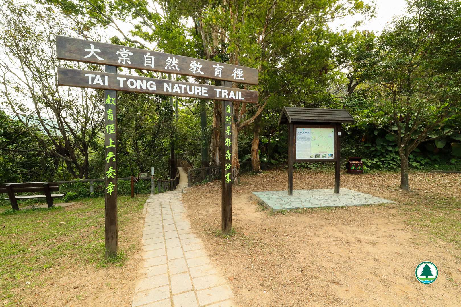
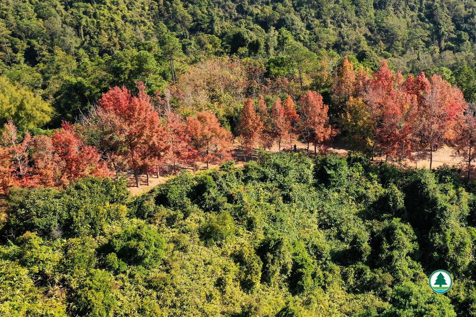
This trail will take you on a journey through the picturesque landscapes of Sweet Gum Woods and the "Thousand-Island Lake". It begins with a series of stairs to the Tai Tong Barbecue Area. As you proceed along Tai Tong Shan Road, you will bypass the entrance to the Tai Tong Nature Trail. Here, the roadside is adorned with Sweet Gum trees, which transform into a vibrant red display from late autumn through winter (normally from November to December), creating a mesmerising sight.
At the junction with the MacLehose Trail Section 10, turn right to continue towards the Reservoir Islands Viewpoint and Wong Nai Tun Irrigation Reservoir. Alternatively, a left turn will lead you to the Sweet Gum Woods. After a soothing stroll, return to the junction to resume your journey.
From this point, the path becomes more challenging, with upward inclines and stairs leading to the Reservoir Islands Viewpoint. Upon reaching distance post M181 of the MacLehose Trail, a sign on your left will guide you to a viewpoint overlooking the "Thousand-Island Lake" of the Tai Lam Chung Reservoir.
Towards the end of the path lies the Wong Nai Tun Irrigation Reservoir, which served local farmers in the 1960s and now provides irrigation water to the Tai Tong Nursery of the Agriculture, Fisheries and Conservation Department for producing native seedlings. The reservoir, stretching out in an elongated triangular shape, is a sight to behold. After exploring the reservoir, return to the bending road before the dam and follow the waymark to reach the endpoint of this path – Yeung Ka Tsuen.
Relevant Information:
Hong Kong Observatory : Hong Kong Hiking Trail Weather Service

To facilitate the public in planning their hikes, the geographical information of the route, including the route map, starting point, endpoint, and elevation chart, has been saved in a "GPX" file. The public can download hiking-related applications on their smartphones or smart watches, then click on the following "GPX" file to import the relevant information, which serves as an aid for hiking. Please note that downloading "GPX" files may increase data usage, and the functions and content display may vary depending on the device and application used.
Transportation Information
Starting Point
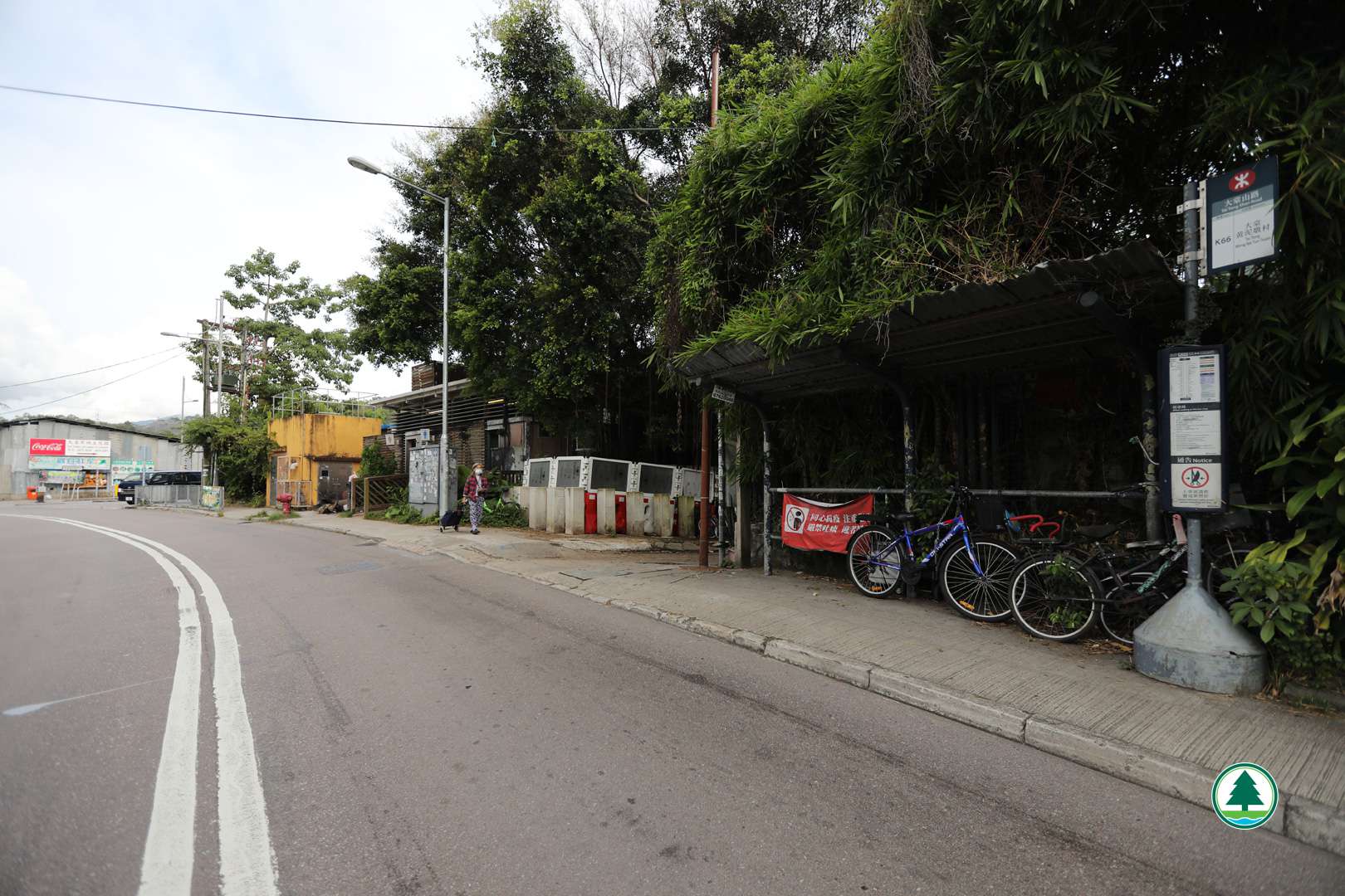
Take public transport to the bus stop at Tai Tong Shan Road. Then walk uphill for about 25 minutes to the starting point leading to the barbecue area upstairs.
MTR Bus route - K66
Minibus route - KOLOUR, Yuen Long to Tai Tong
Endpoint
Walk to Wong Nai Tun Tsuen via Yeung Ka Tsuen to take MTR bus K66 or minibus

The transportation information provided in this website is for reference only. Please check the updated transportation information from the websites of Transport Department and relevant transport utilities before setting off.
HKeMobility web page
https://www.hkemobility.gov.hk/
Route Map
The map below shows the route and scenic spots along the hiking trail.
For details, please refer to the transportation information above and photos below.
Gallery
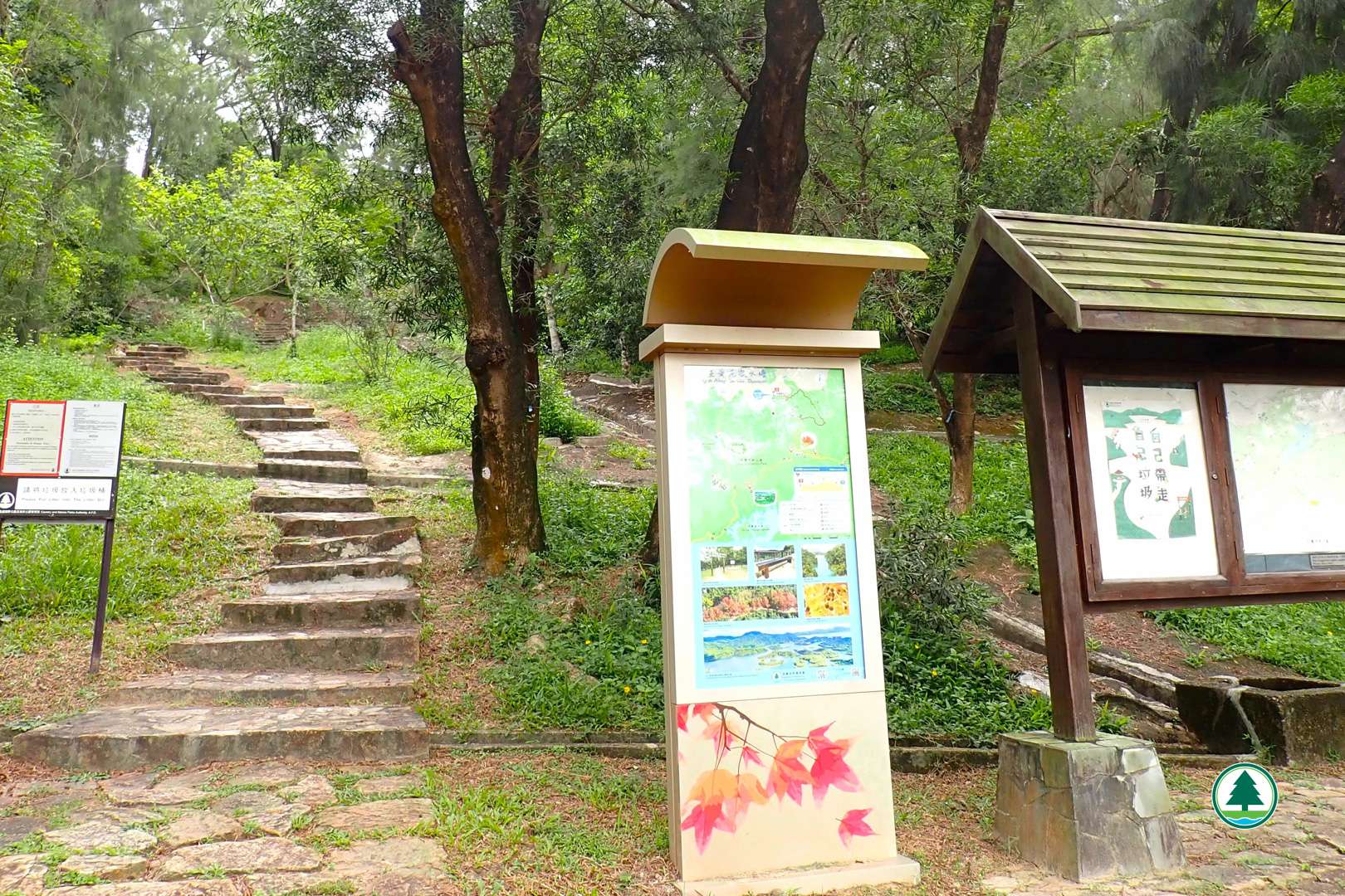
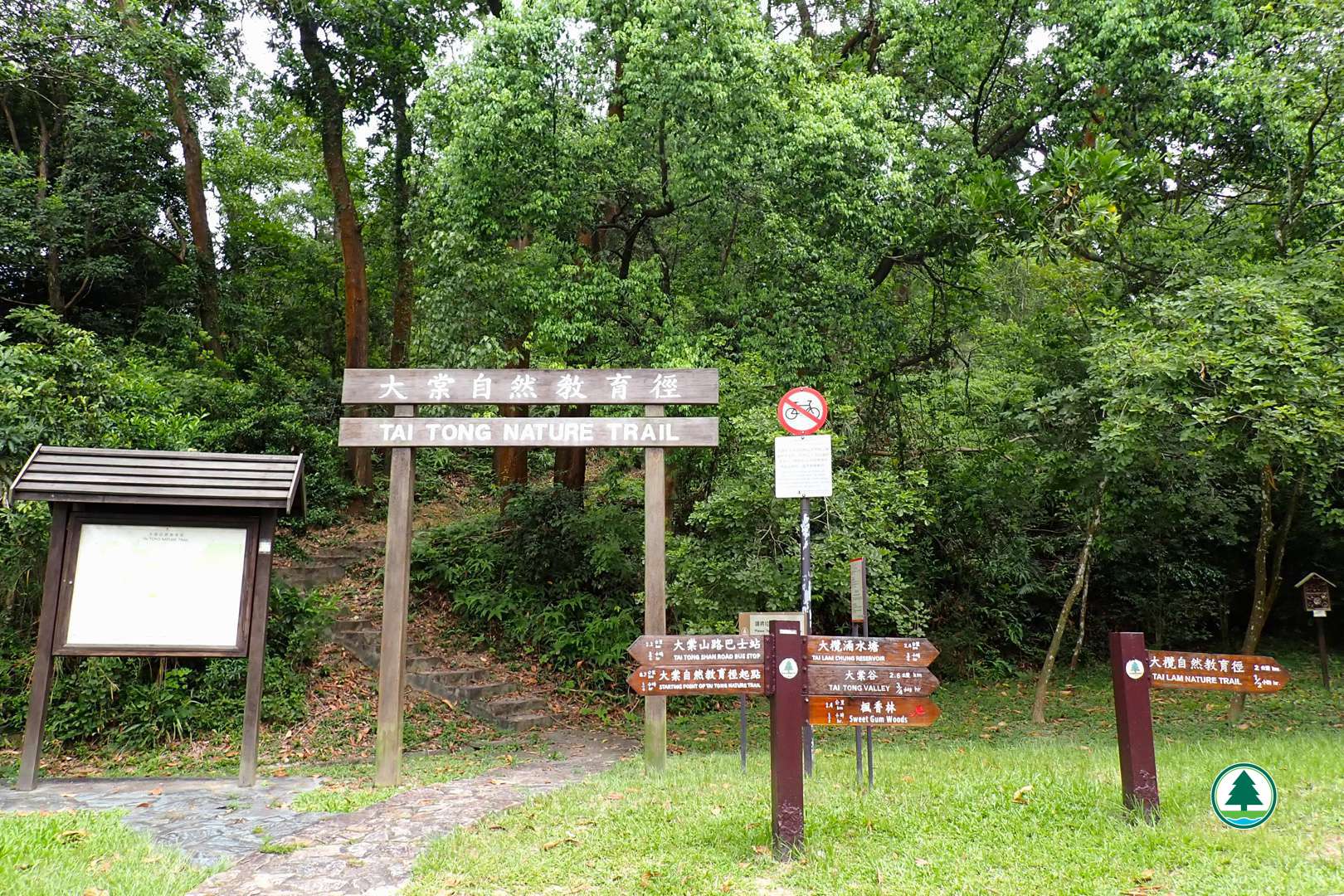
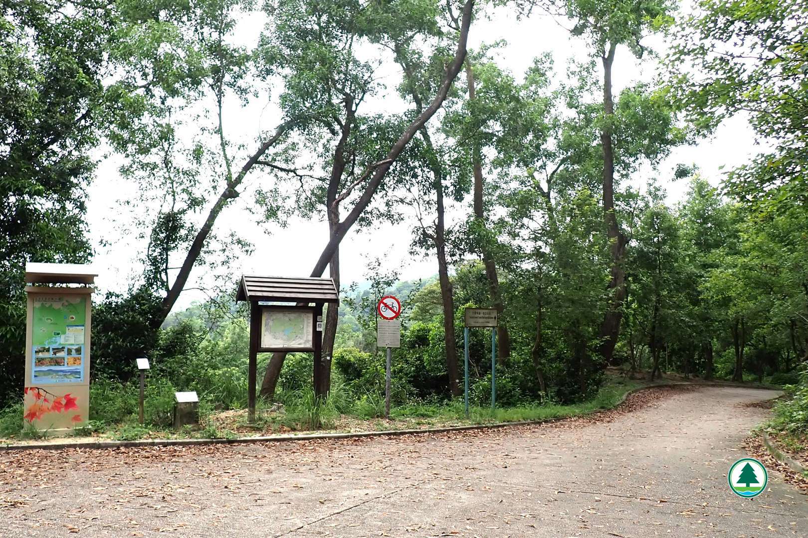
Starting point of the Tai Tong Nature Trail
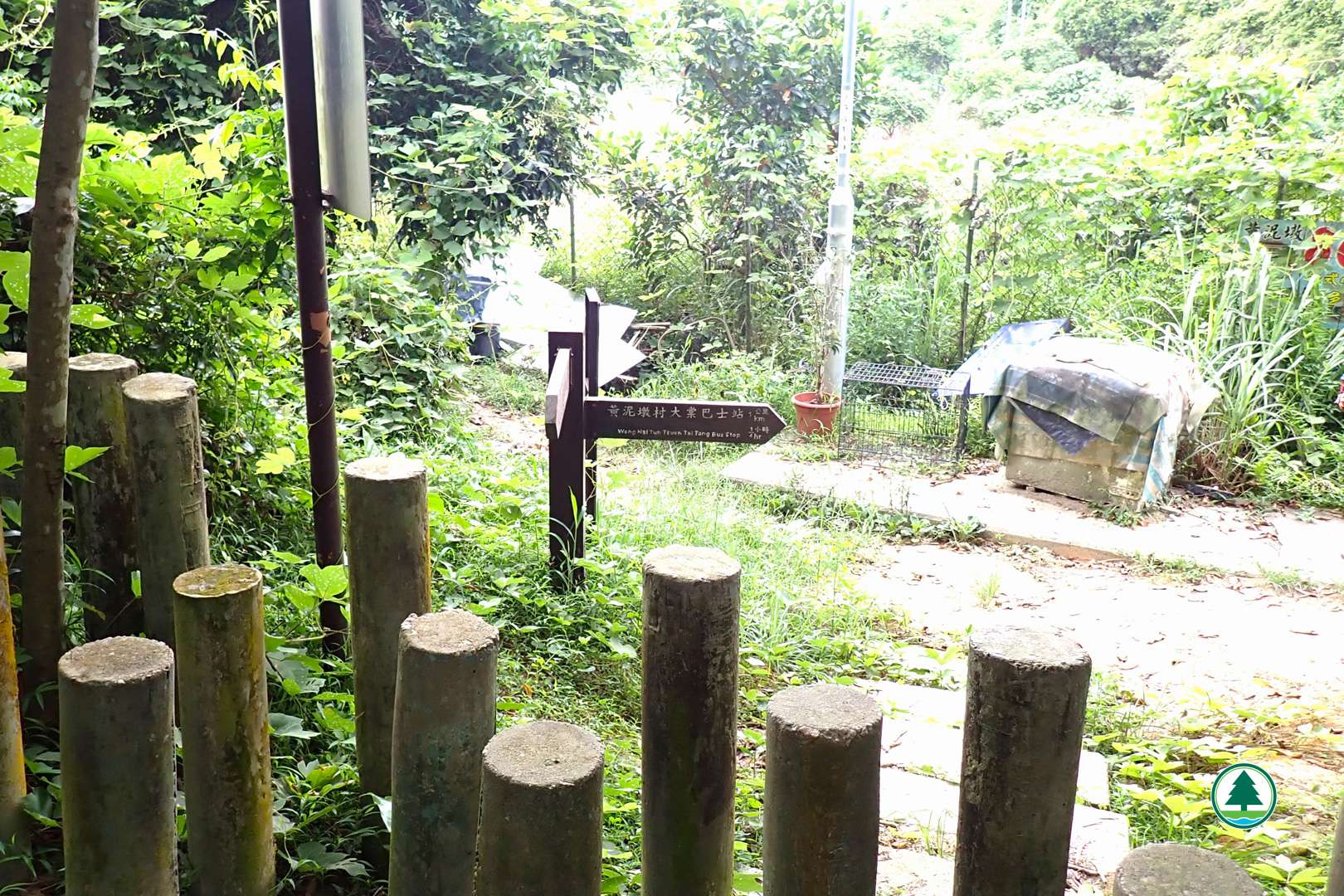
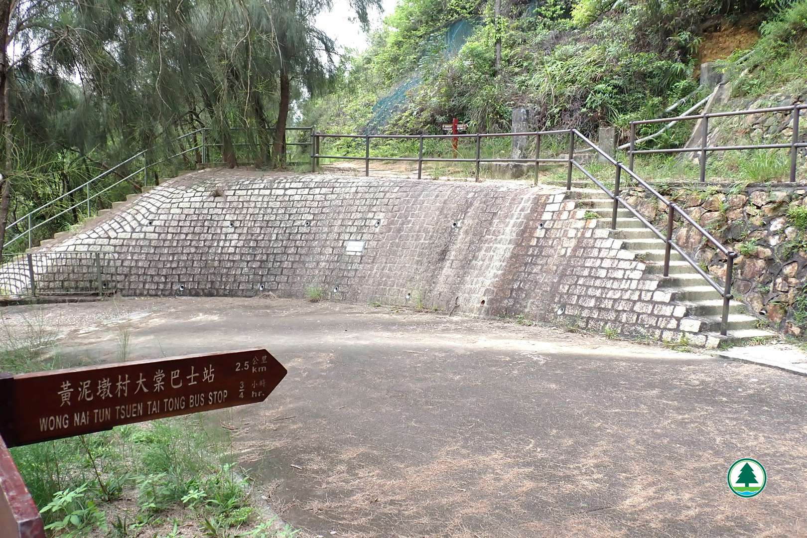
Endpoint of the Tai Tong Nature Trail
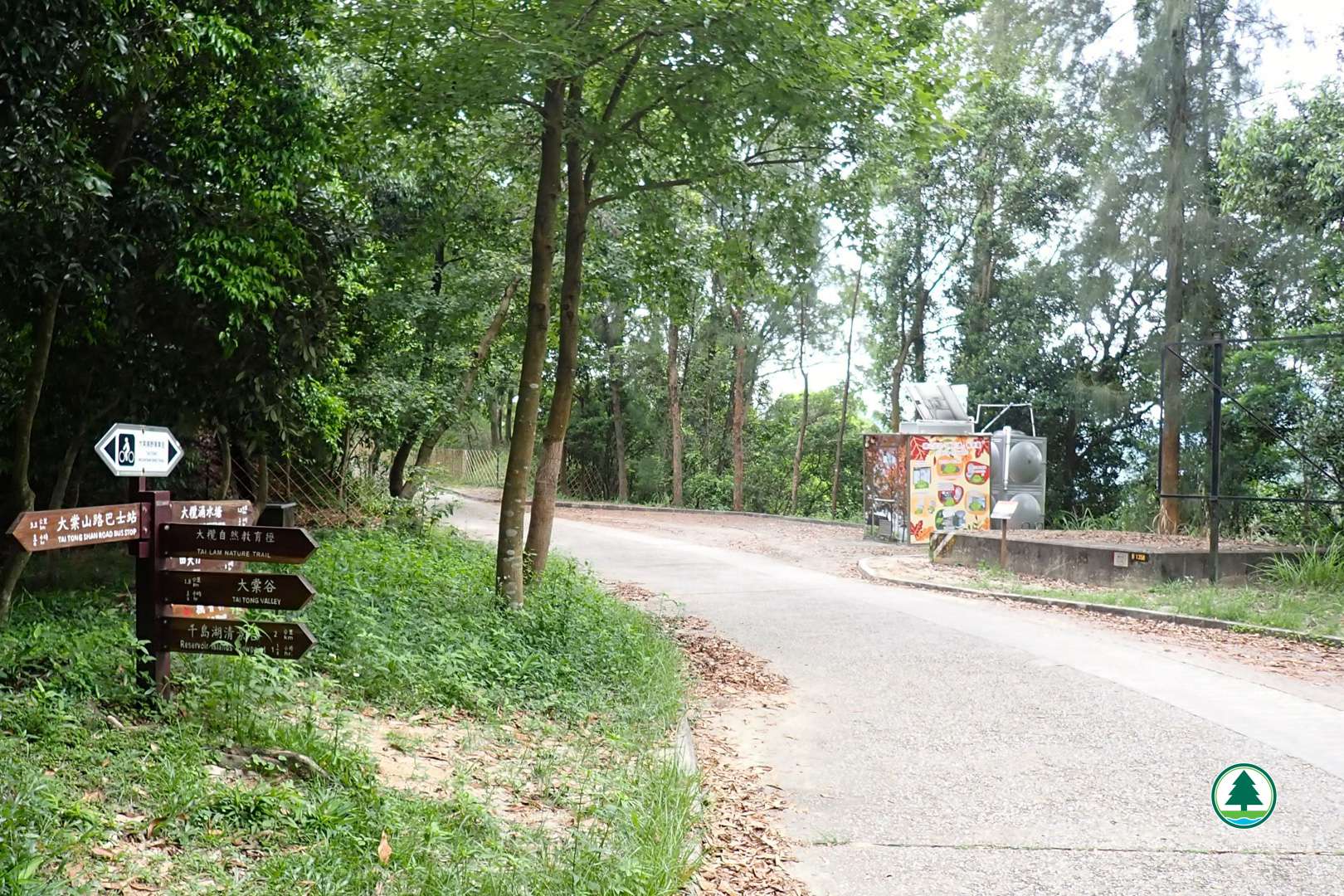
Junction towards Sweet Gum Woods
Autumn colours of Sweet Gum Woods
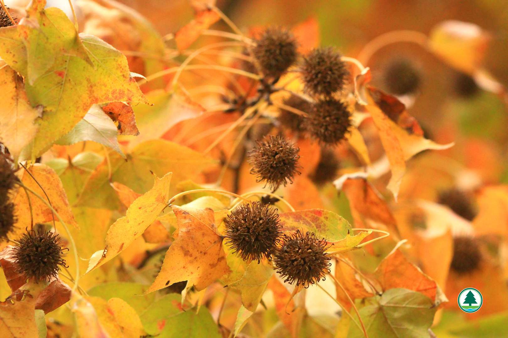
Sweet Gum leaves and fruits
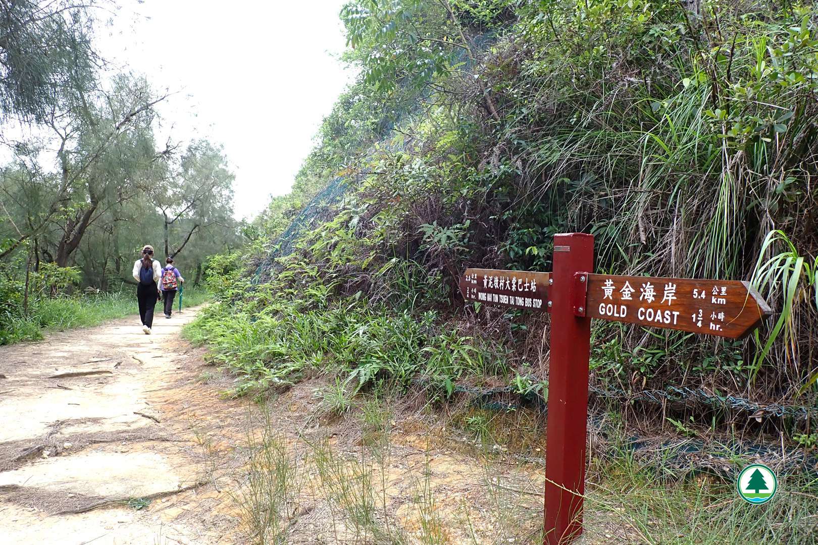
Junction towards Reservoir Islands Viewpoint
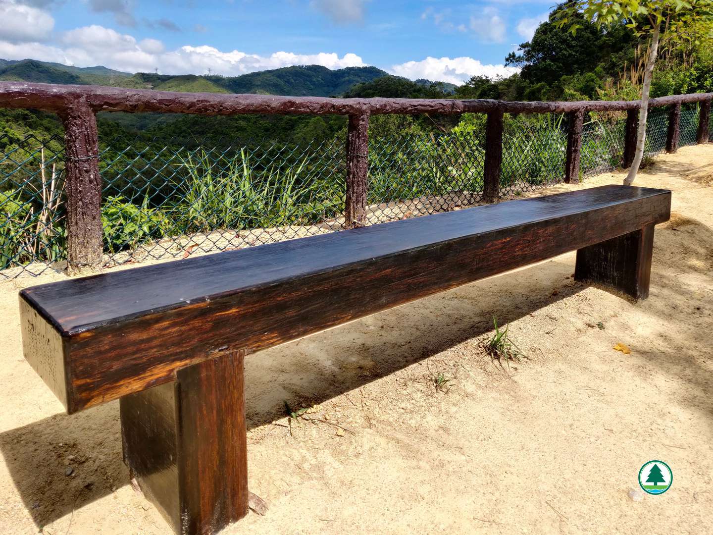
Bench made of reused hardwood sleeper
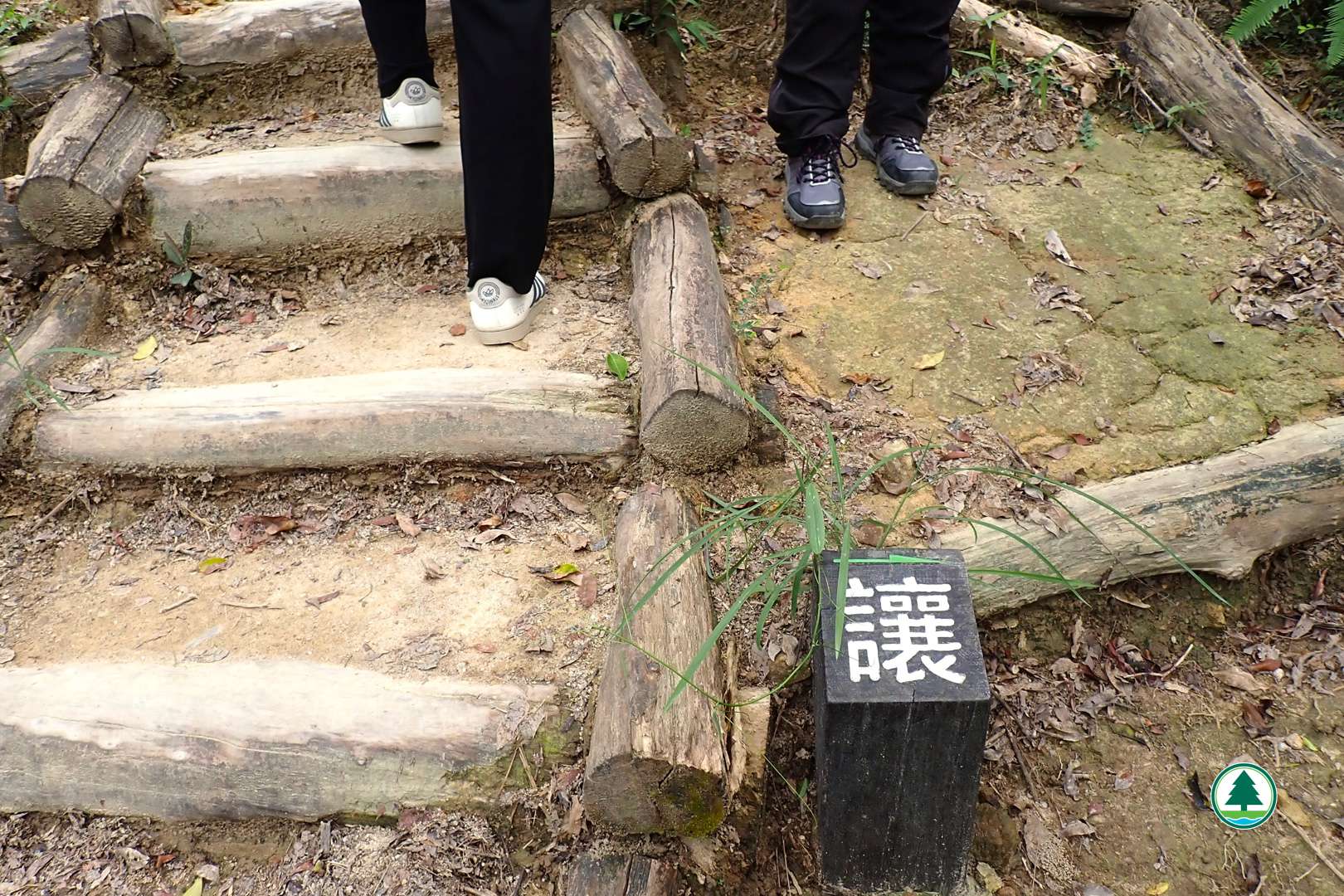
To Reservoir Islands Viewpoint. Be considerate.
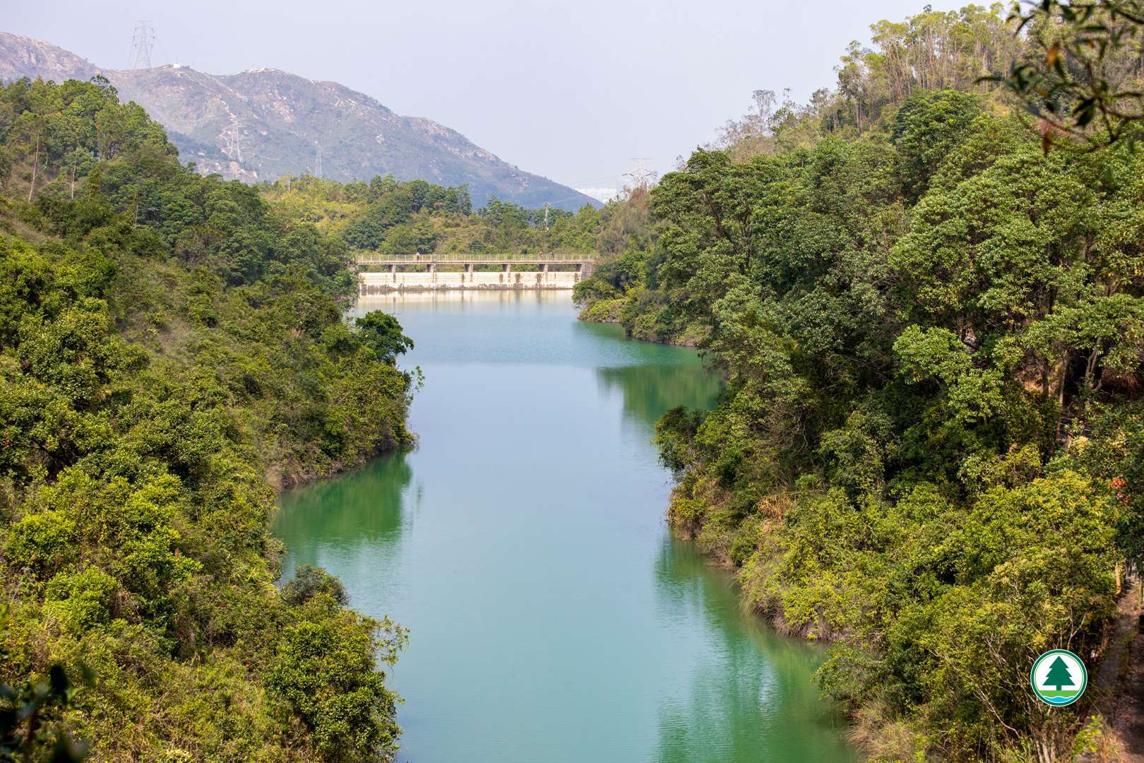
Overlooking Tai Lam Chung Reservoir from Reservoir Islands Viewpoint
Wong Nai Tun Irrigation Reservoir
Walk upstairs towards endpoint
Route via Yeung Ka Tsuen