High Junk Peak Country Trail
Country Trail
Transportation Information
Starting Point
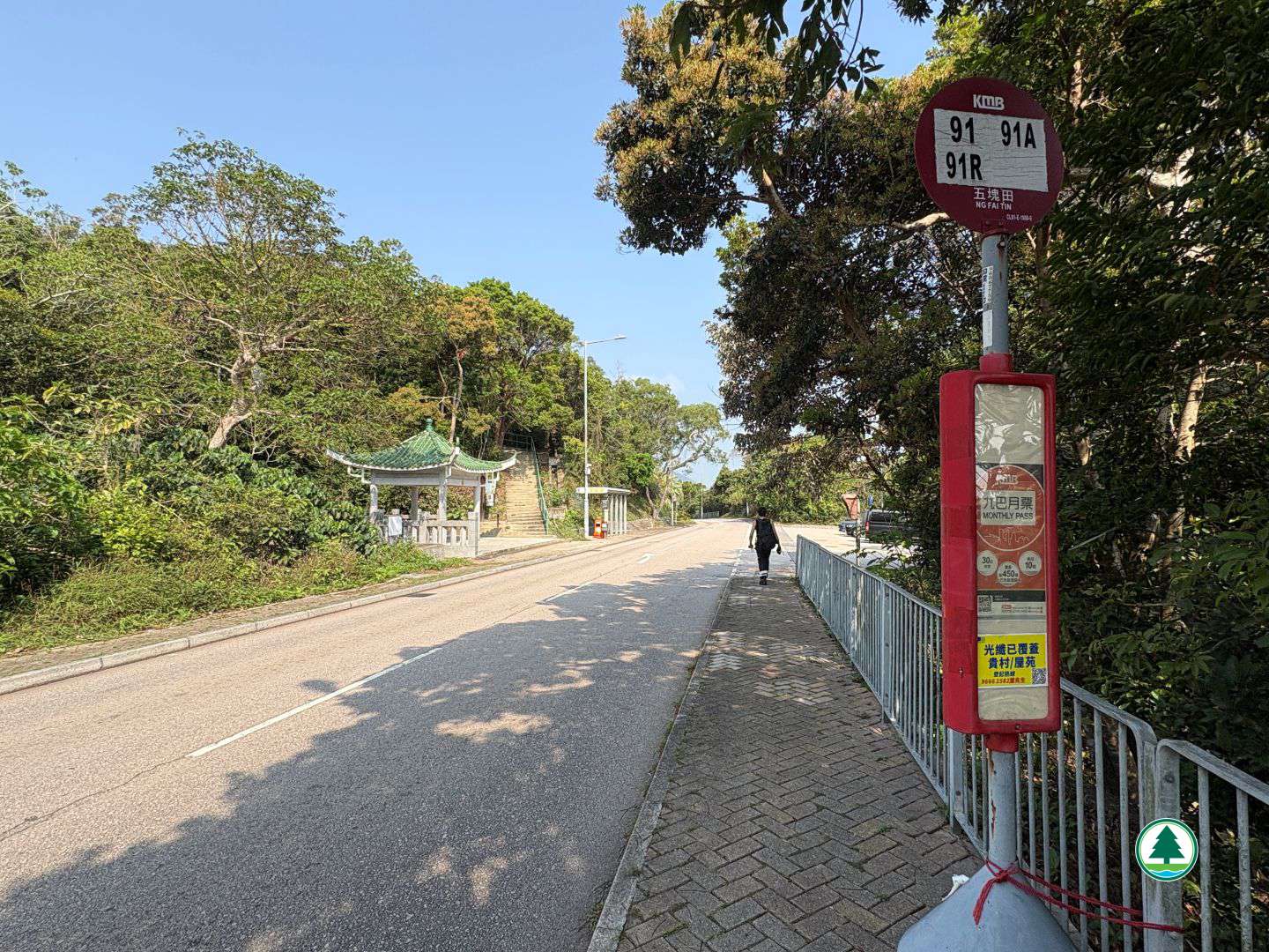
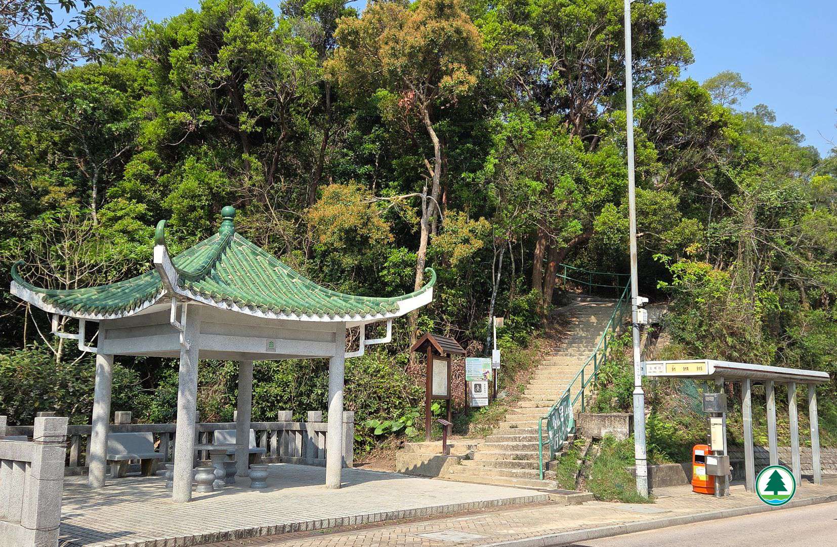
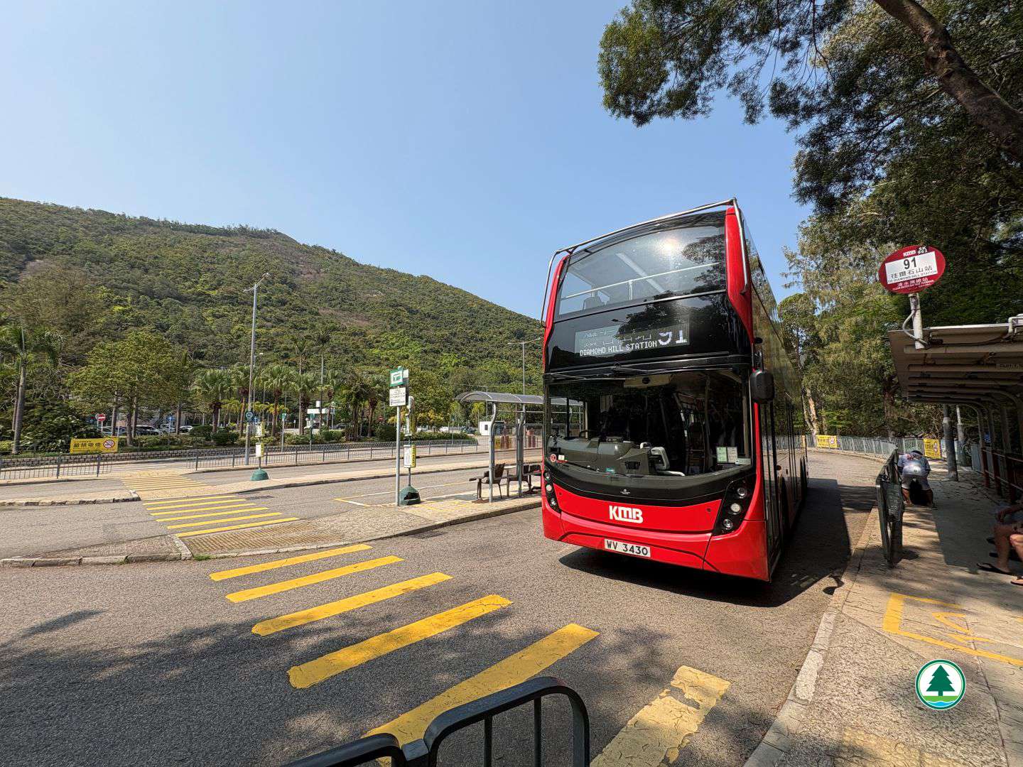
Alight at "Ng Fai Tin" stop on Clear Water Bay Road and cross the road to reach the starting point.
Kowloon Motor Bus (KMB) route - 91
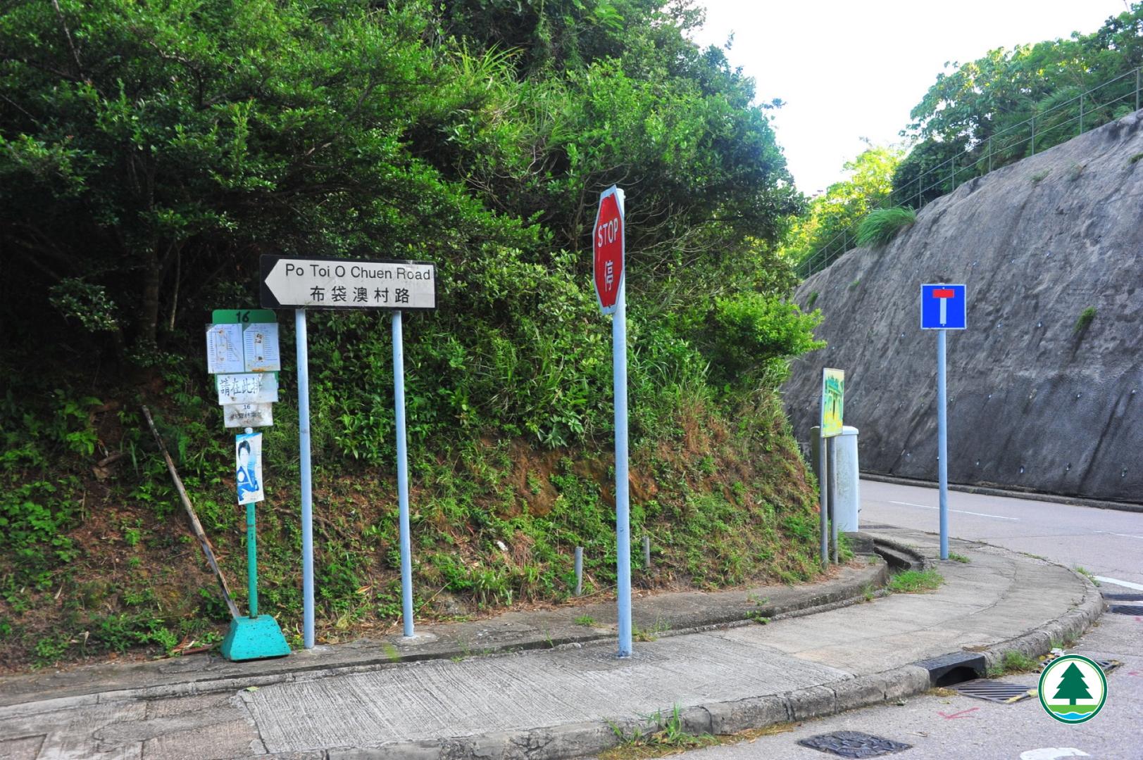
Green Minibus routes - 16, 103 and 103M
Endpoint
Take Green Minibus route 16 at "Po Toi O" stop near the endpoint to leave, or walk approximately 2 km to Clear Water Bay Bus Terminus to take public transport.
Kowloon Motor Bus (KMB) route - 91
Green Minibus routes - 16, 103 and 103M
The transportation information provided in this website is for reference only. Please check the updated transportation information from the websites of Transport Department and relevant transport utilities before setting off.
HKeMobility web page
https://www.hkemobility.gov.hk/
Route Map
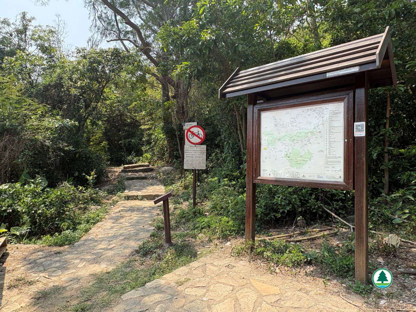
The map below shows the route and scenic spots along the hiking trail.
For details, please refer to the transportation information above and photos below.
Gallery
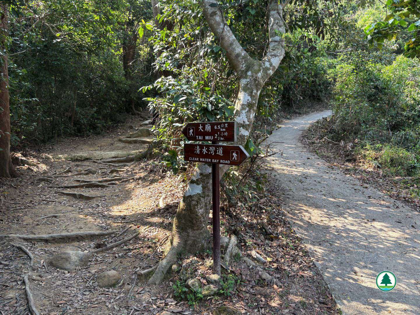
Keep left to follow the direction for Tai Miu
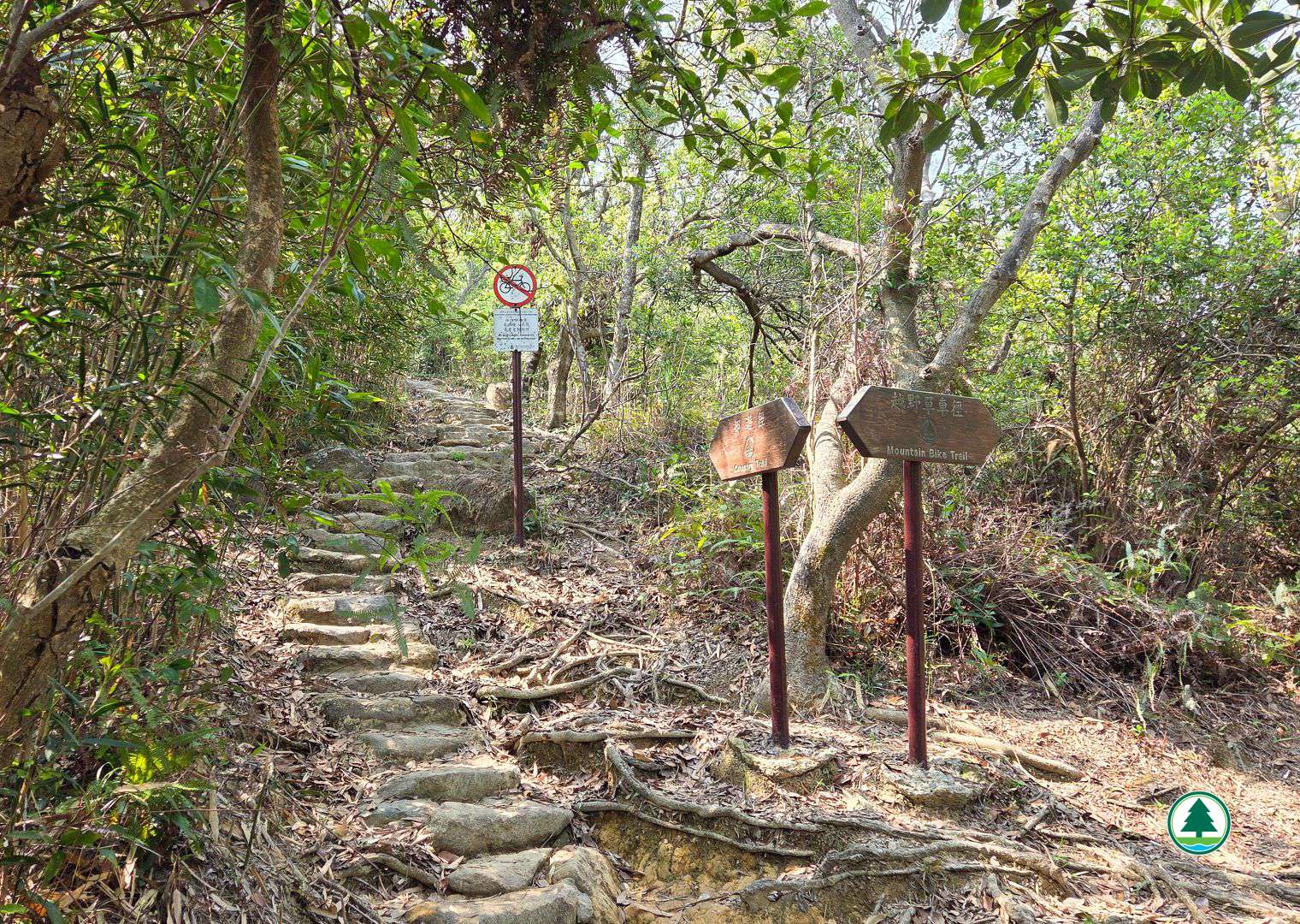
Ascending the steps along the country trail
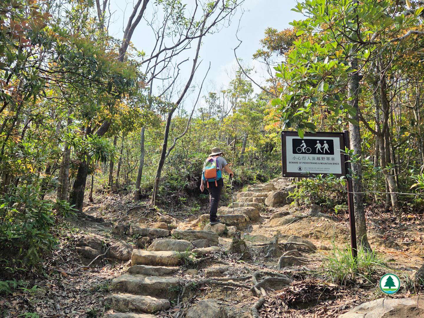
Beware of mountain bikes
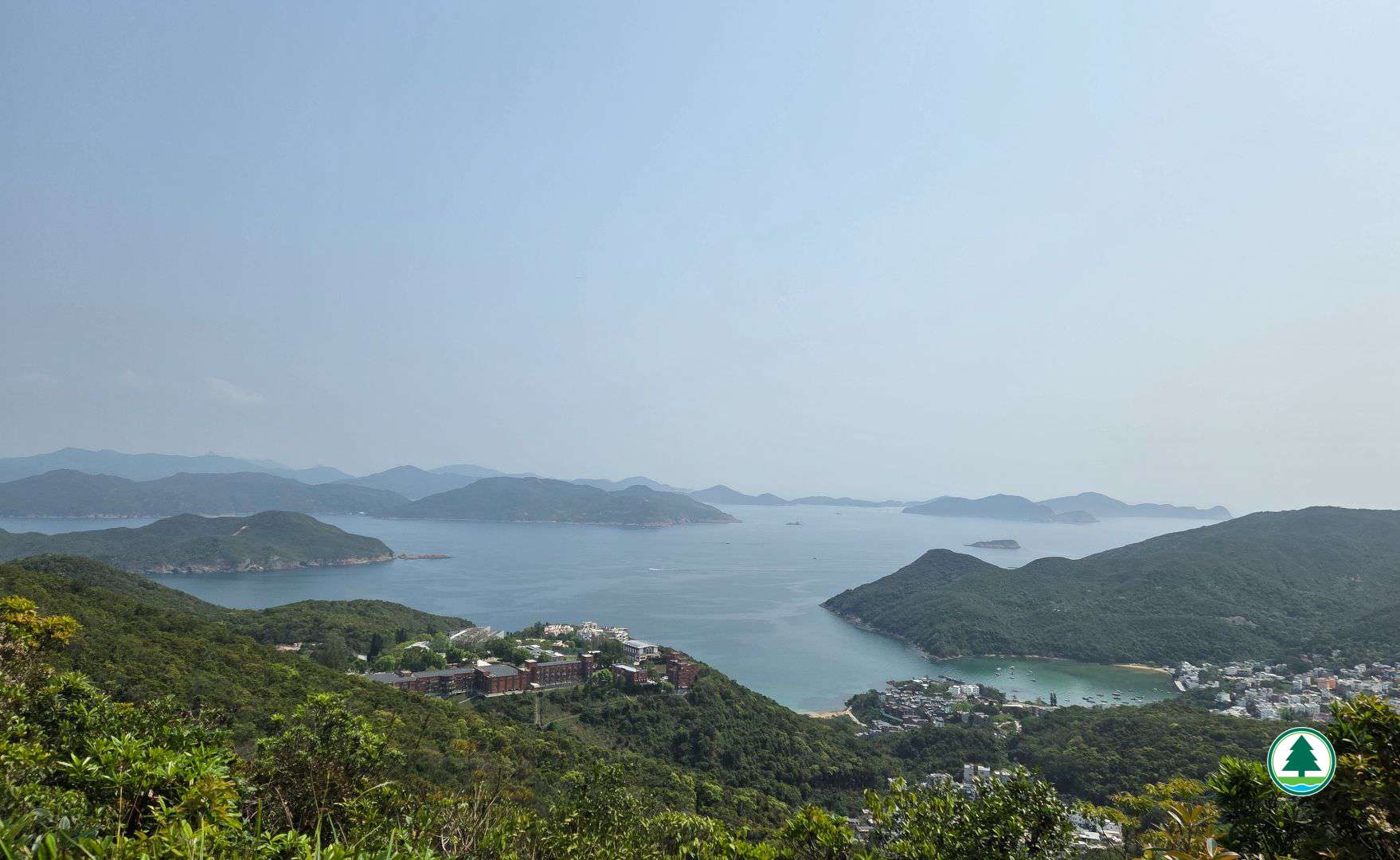
Overlooking Shelter Island and Kau Sai Chau
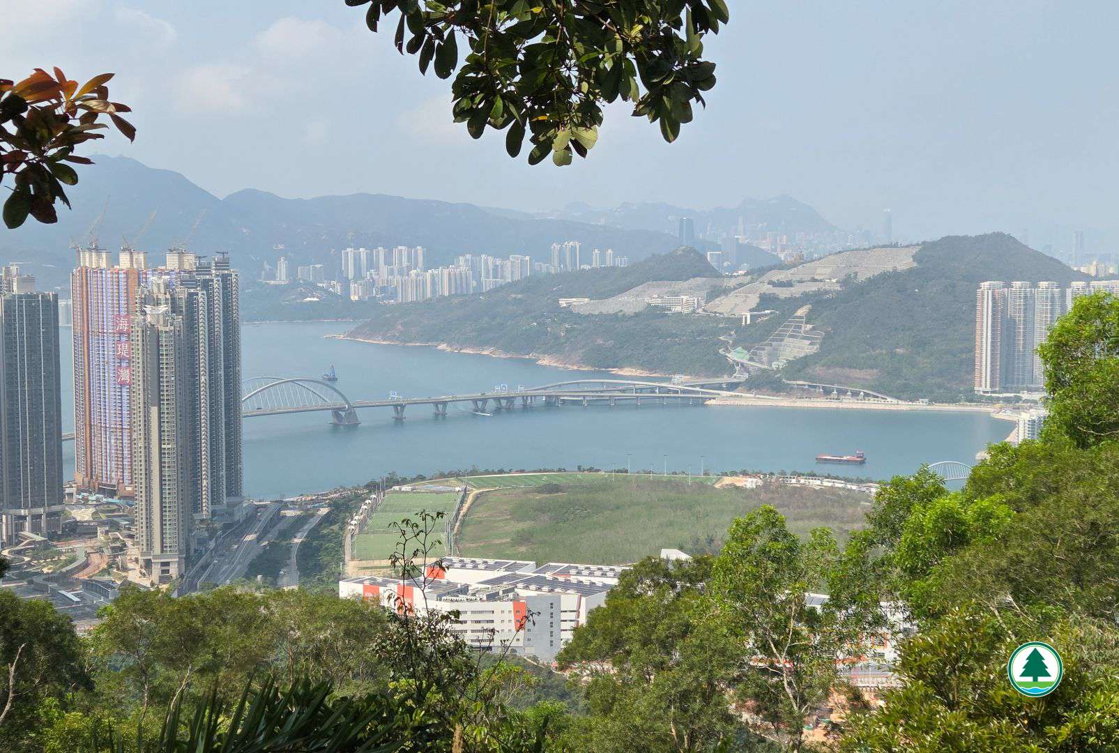
Overlooking Lohas Park and Tseung Lam Highway
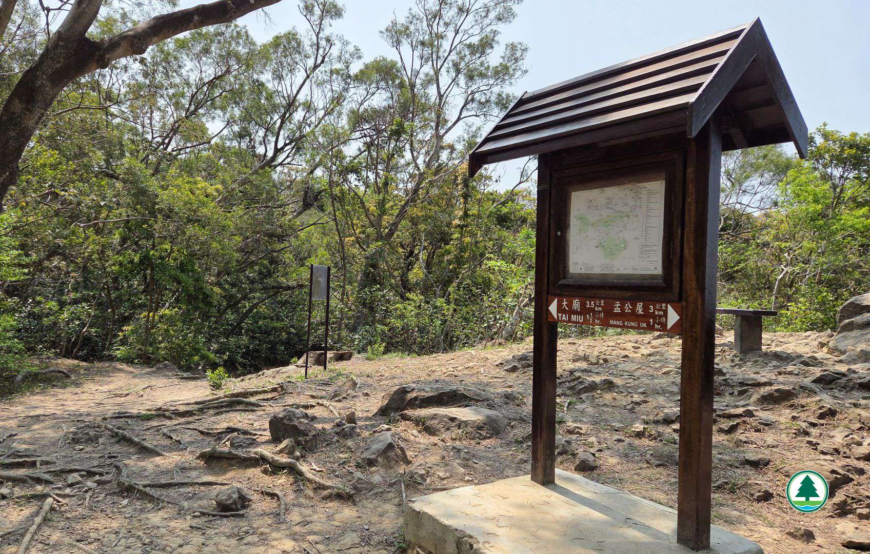
Continue toward Tai Miu
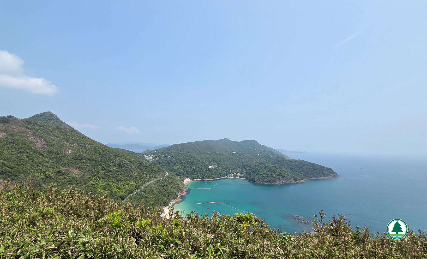
Overlooking High Junk Peak, Tai Hang Tun and Clear Water Bay
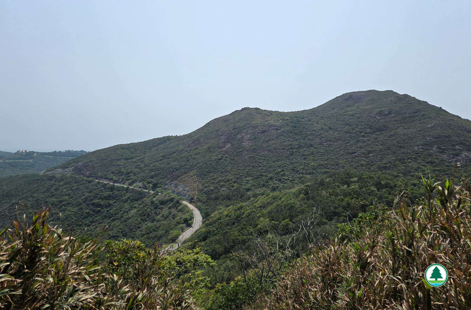
Tai Au Mun Road and Tin Ha Shan
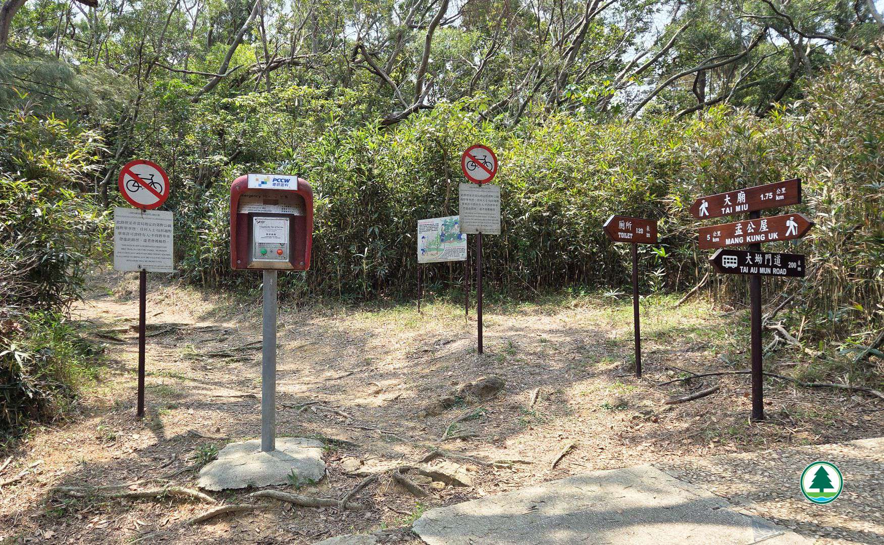
Continue toward Tai Miu
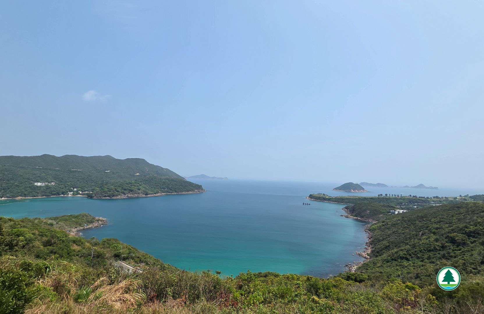
Overlooking Clear Water Bay, Steep Island and Ninepin Group
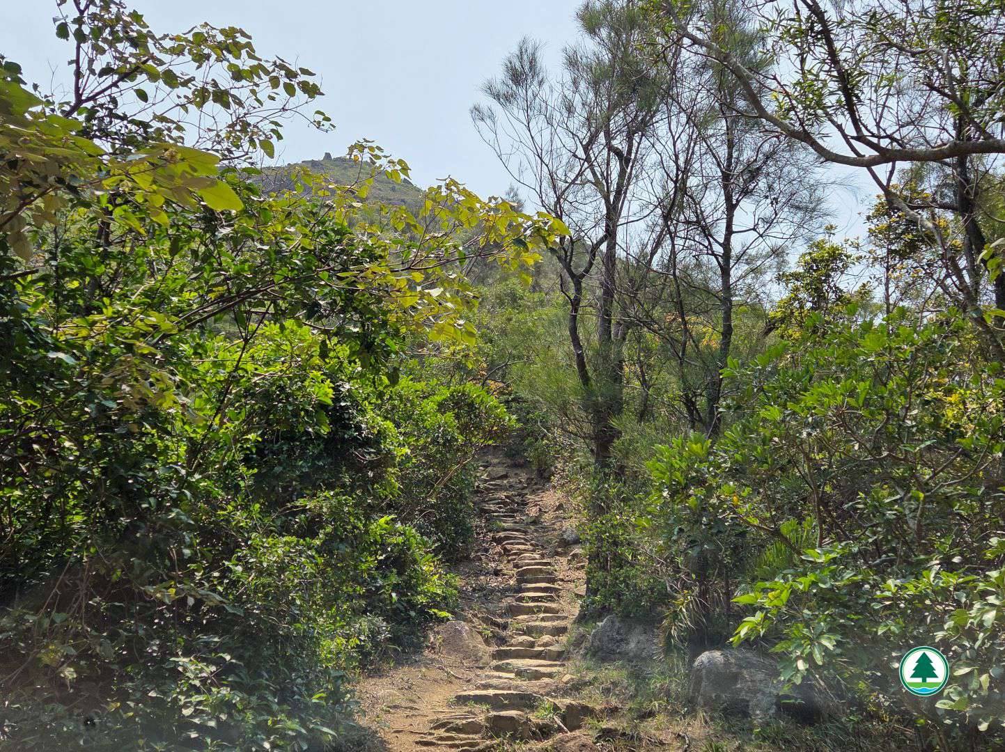
Climbing the stone steps up to Tin Ha Shan
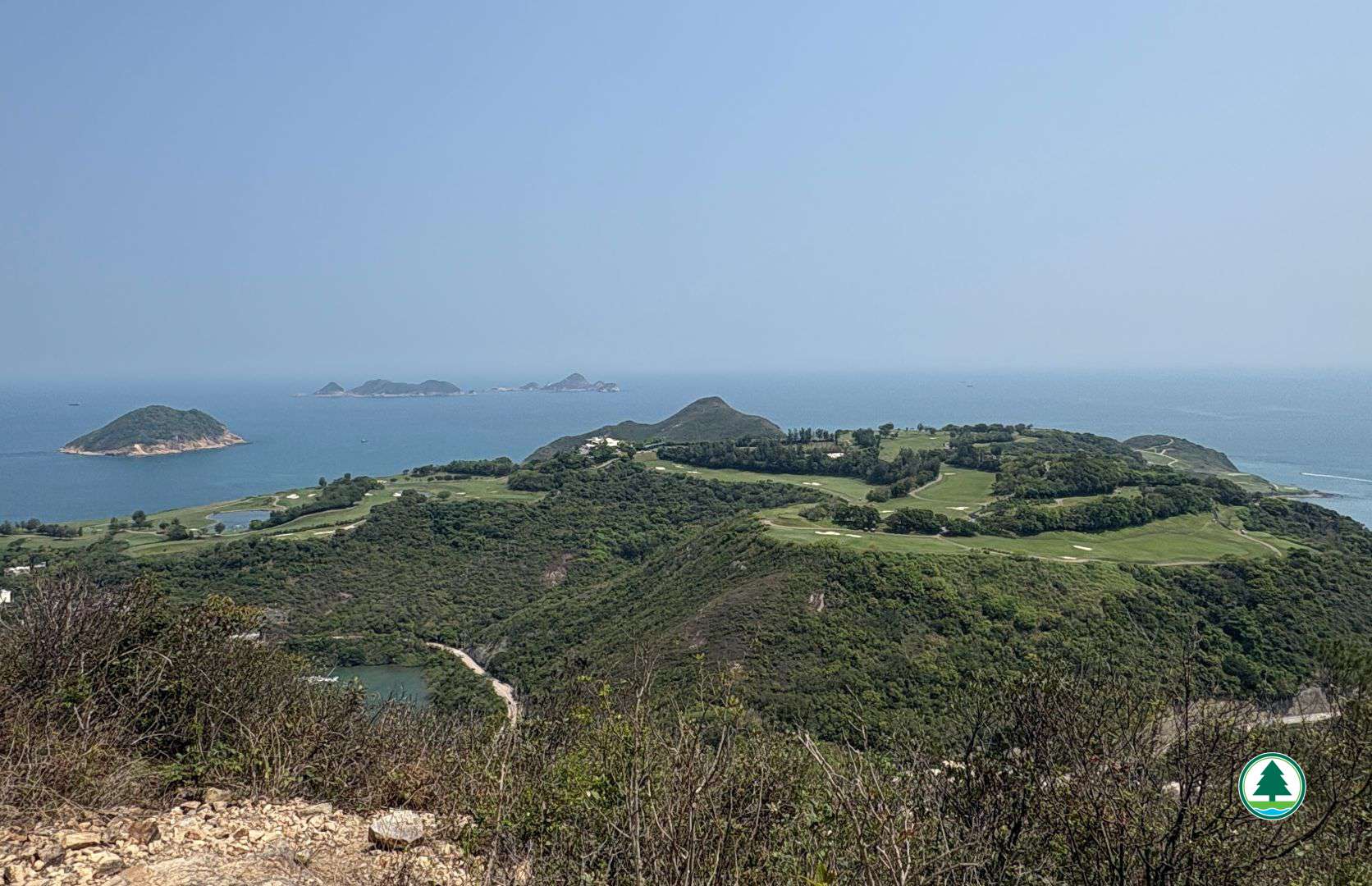
Overlooking Clearwater Bay Golf and Country Club
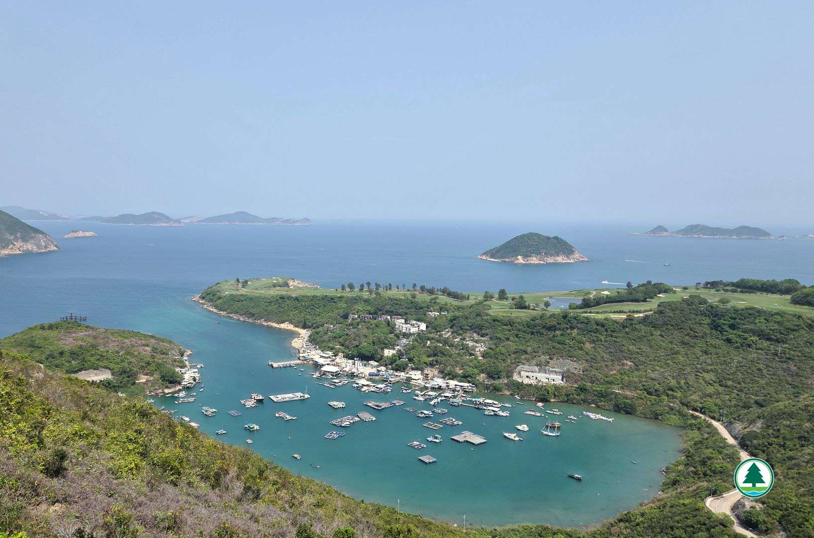
Overlooking Po Toi O and Steep Island
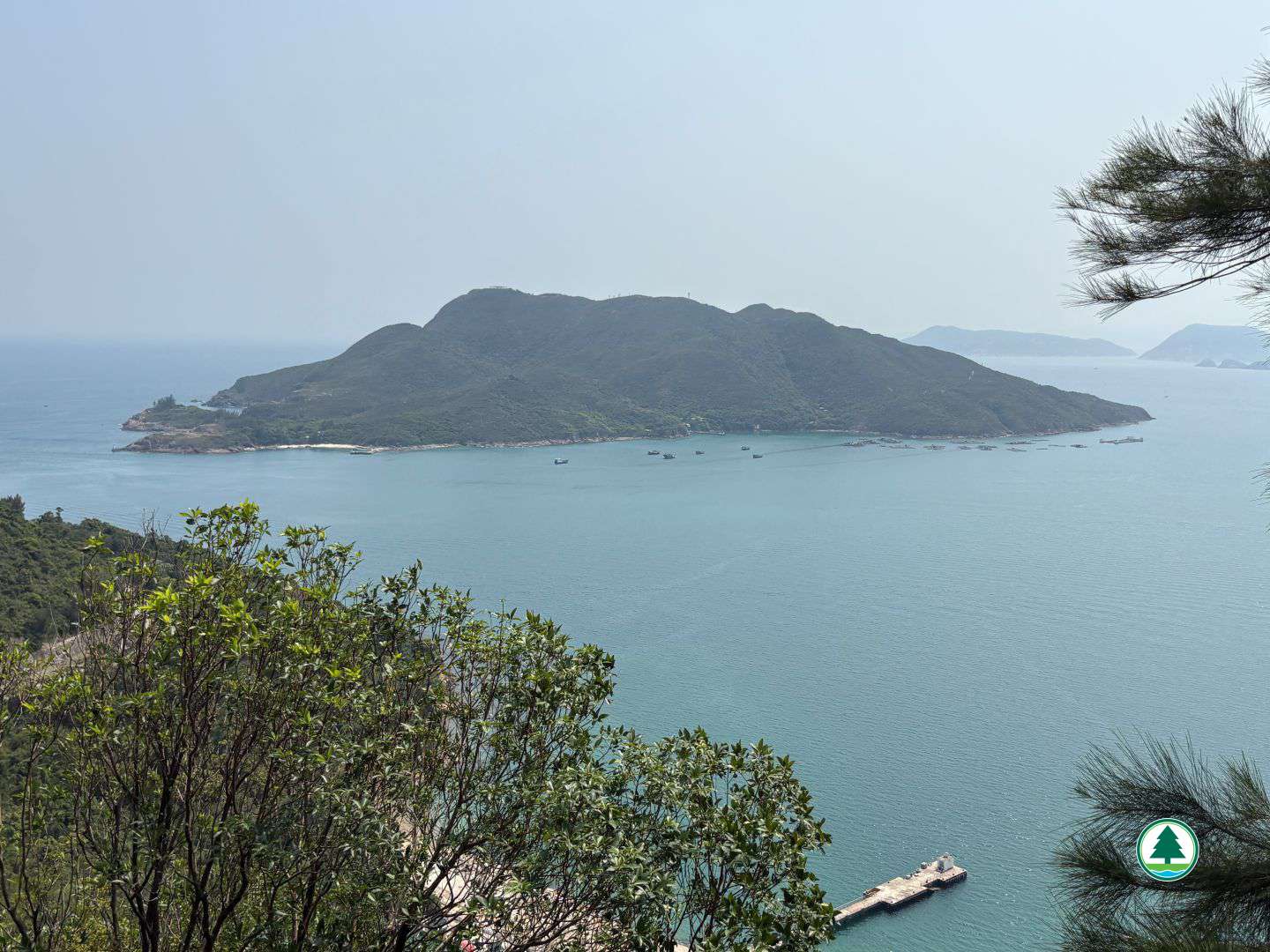
Overlooking Tung Lung Chau
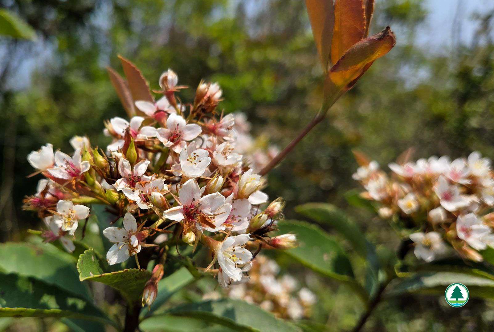
Hong Kong Hawthorn (Rhaphiolepis indica)
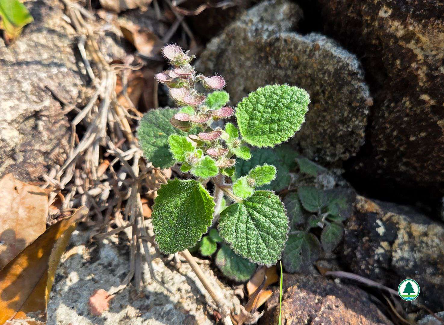
Skullcap (Scutellaria indica)
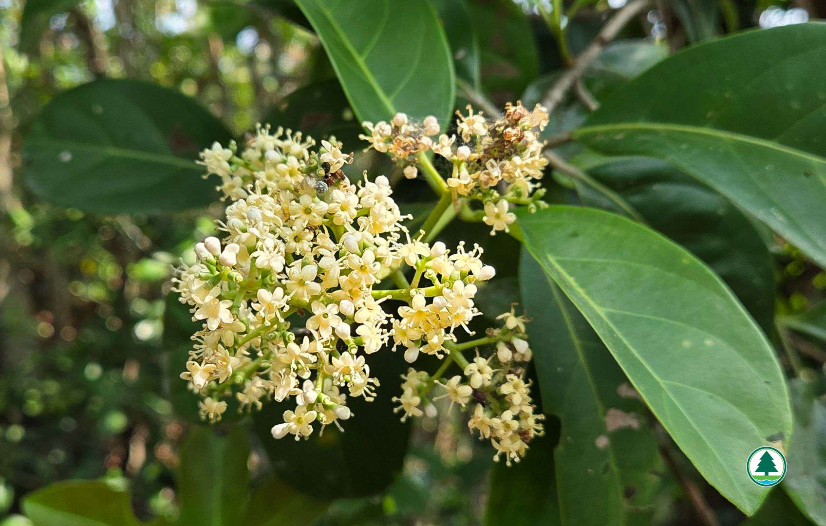
Sweet Viburnum (Viburnum odoratissimum)