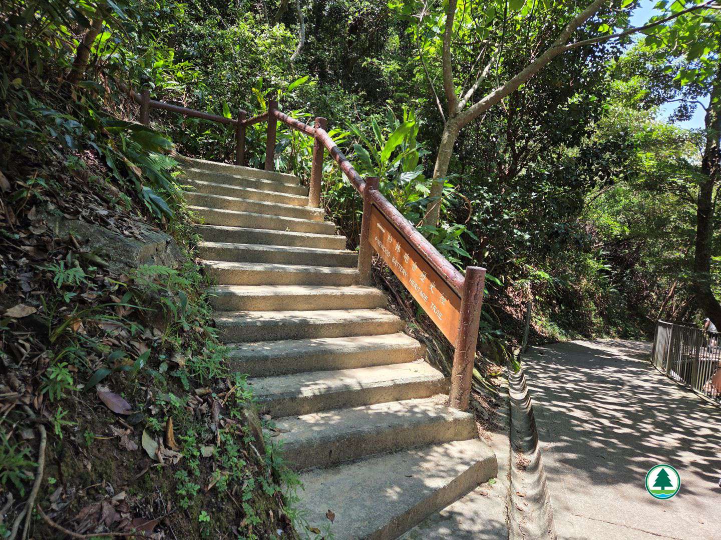
Pinewood Battery Heritage Trail
Recommended Route

Trail Summary

Length
0.38 km
Duration
0.5 hours
Region
Hong Kong Island
Overall Difficulty (1-Star Easy)
Length (Rating 1-Star)
Duration (Rating 1-Star)
Elevation (Rating 1-Star)
Surface (Rating 1-Star)

Shading Level
(3 green leaves represent high shading level)

  • (High)

Overall Rating (5 hearts is the highest)

(Rating {floor($comment['average_rating']}}-Heart)

This heritage trail lies within Lung Fu Shan Country Park, where you can explore a century-old battery complex along a 400-metre route. On the eve of the First World War, the British garrison in Hong Kong planned to build batteries on the northwestern heights of Hong Kong Island to strengthen the western approaches against possible incursions by France and Russia. Construction of the battery began in 1901 on the 307-metre heights of Lung Fu Shan, commanding views over the entire western district of Hong Kong Island. As the threat of air attack grew, Pinewood Battery was converted into an anti-aircraft battery, with a command post, an observation post, and multiple shelters added; its enemy shifted to Japan. The battery bore witness to changes in military technology and forms a page in Hong Kong’s wartime history. During the Japanese attack on Hong Kong in December 1941, the battery suffered repeated air raids; the garrison withdrew, and the scene of devastation from that day can still be seen on site. Although the guns themselves were long removed, the remains of the gun platforms, command post, observation post, war shelters, and latrine have survived in remarkably complete condition. From the hilltop, looking out over western Hong Kong Island and Victoria Harbour, visitors can read the interpretation panels by the ruins and reflect on that chapter of Hong Kong’s wartime past.


To facilitate the public in planning their hikes, the geographical information of the route, including the route map, starting point, endpoint, and elevation chart, has been saved in a "GPX" file. The public can download hiking-related applications on their smartphones or smart watches, then click on the following "GPX" file to import the relevant information, which serves as an aid for hiking. Please note that downloading "GPX" files may increase data usage, and the functions and content display may vary depending on the device and application used.


Transportation Information

Starting Point
Take the Peak Tram to the Peak Tower or take public transport to reach the public transport terminus at the Peak, then walk along Harlech Road for about 1 km until you reach the junction of Harlech Road and Lugard Road. Continue towards Harlech Road via Hatton Road for about 650 m to reach the starting point.

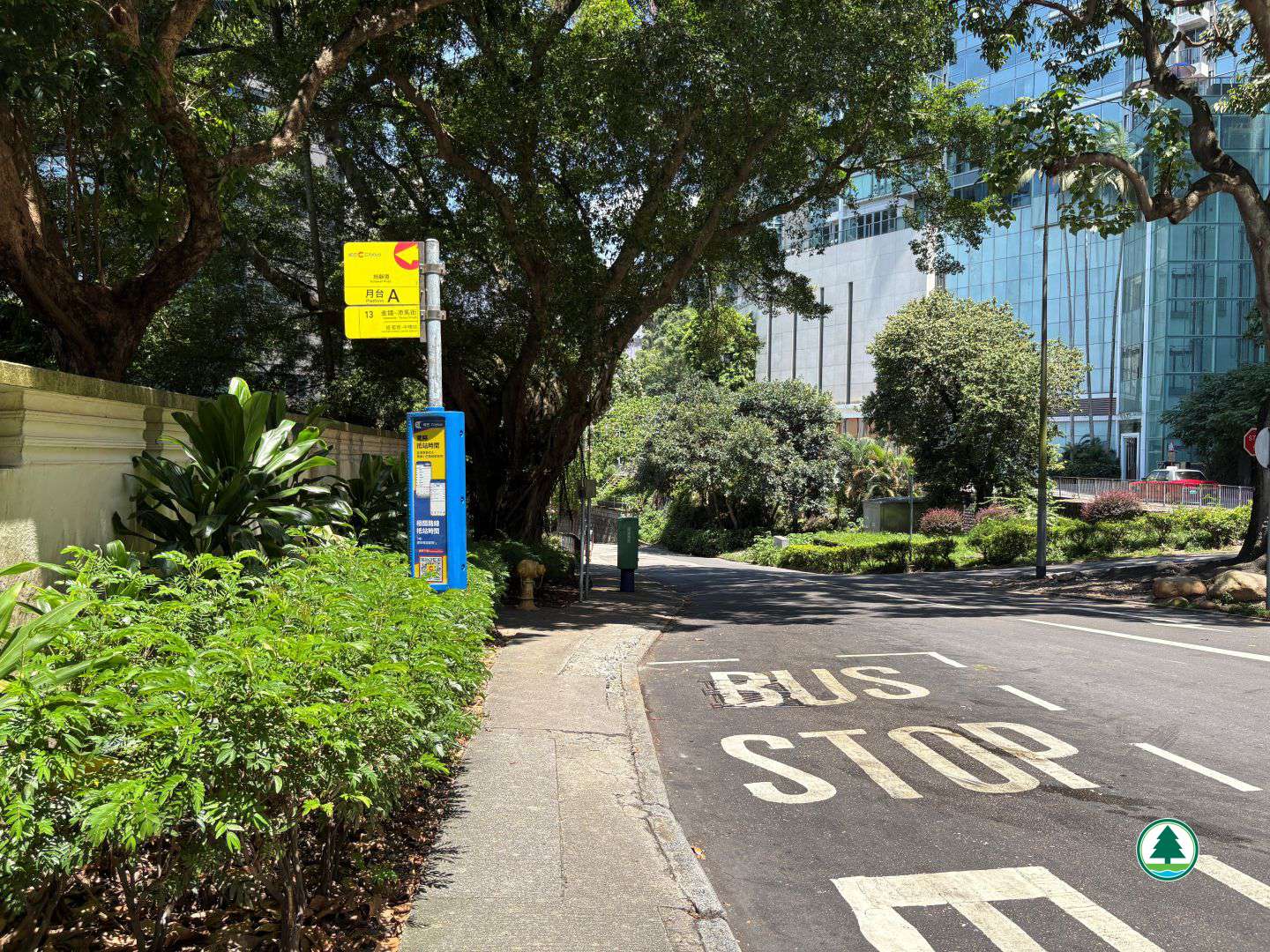
Citybus routes - X15 and 15
Green Minibus route - 1


Endpoint
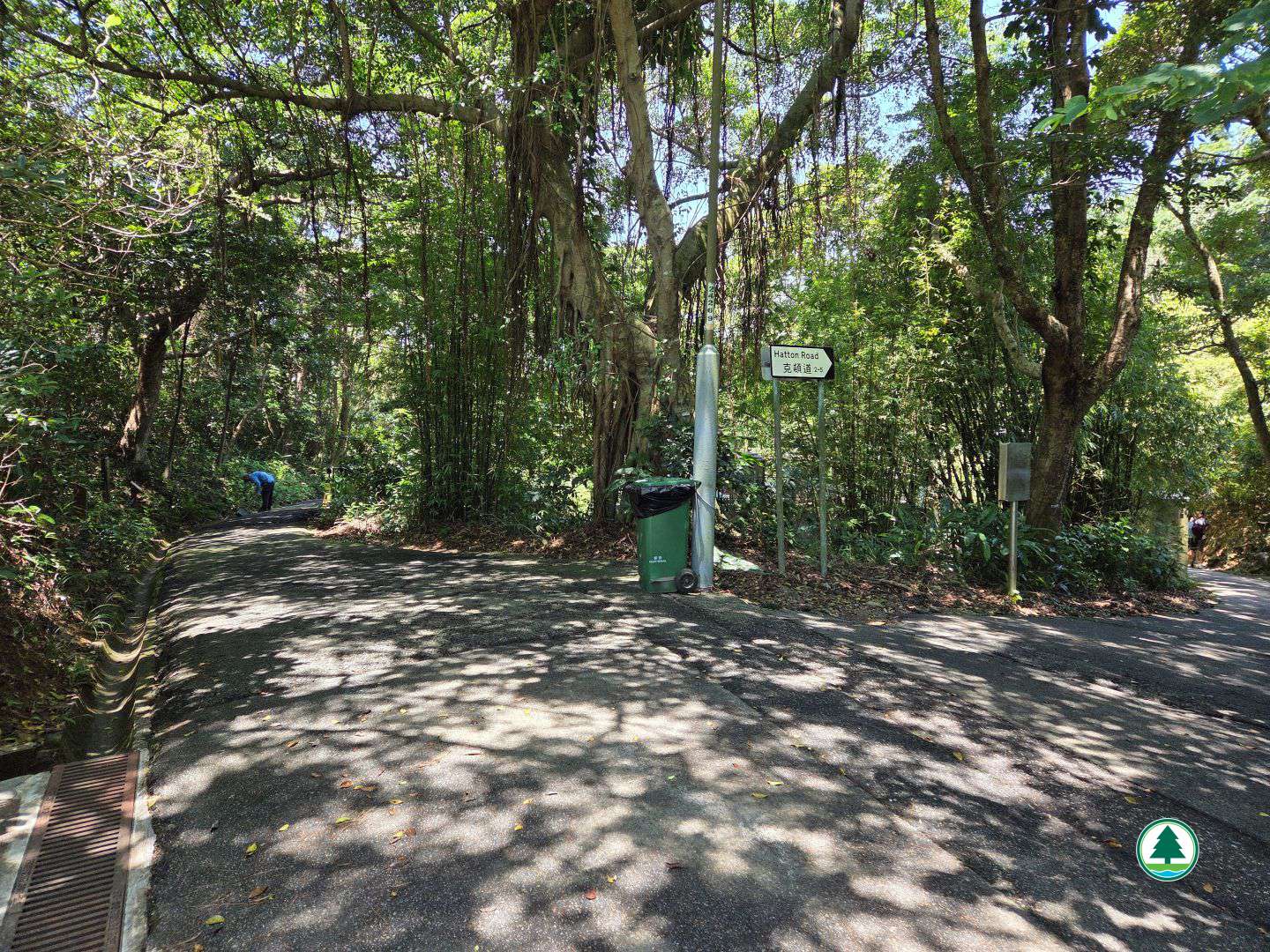
From the endpoint, walk for about 1 km along Hatton Road to Kotewall Road, where you can take public transport to leave.
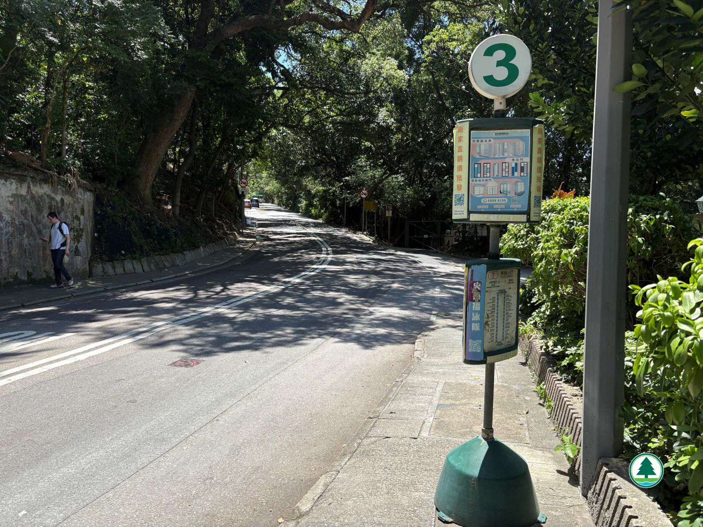
Citybus route – 13
Green Minibus route – 3

The transportation information provided in this website is for reference only. Please check the updated transportation information from the websites of Transport Department and relevant transport utilities before setting off.

HKeMobility web page
https://www.hkemobility.gov.hk/

Route Map

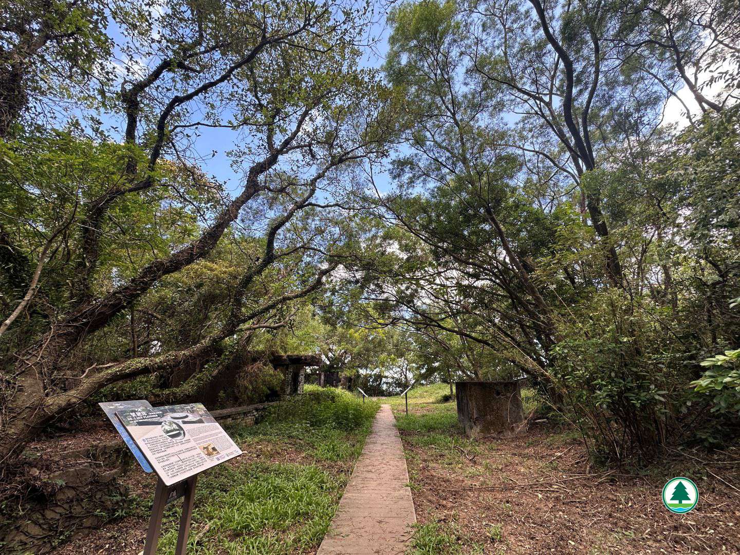
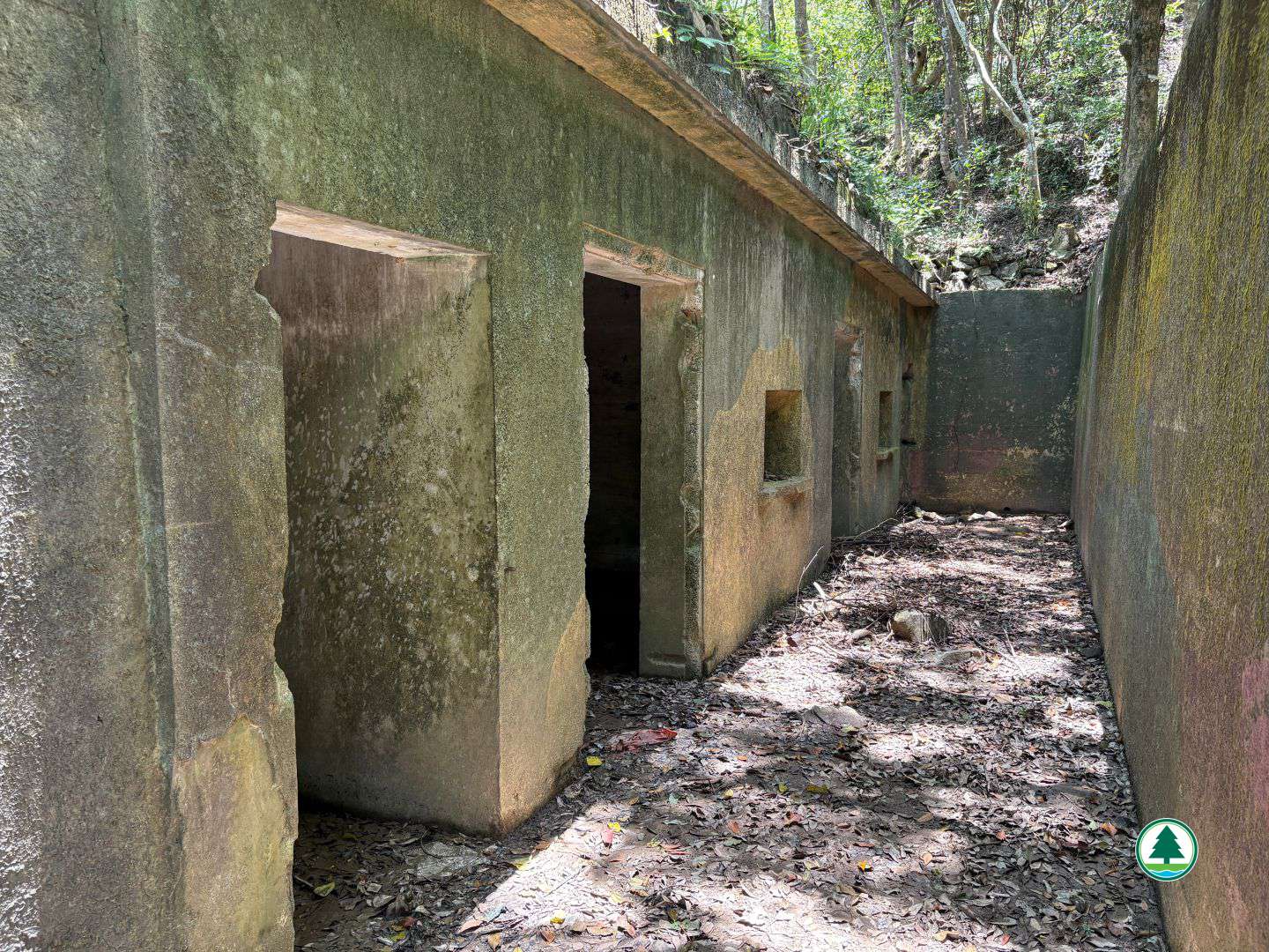
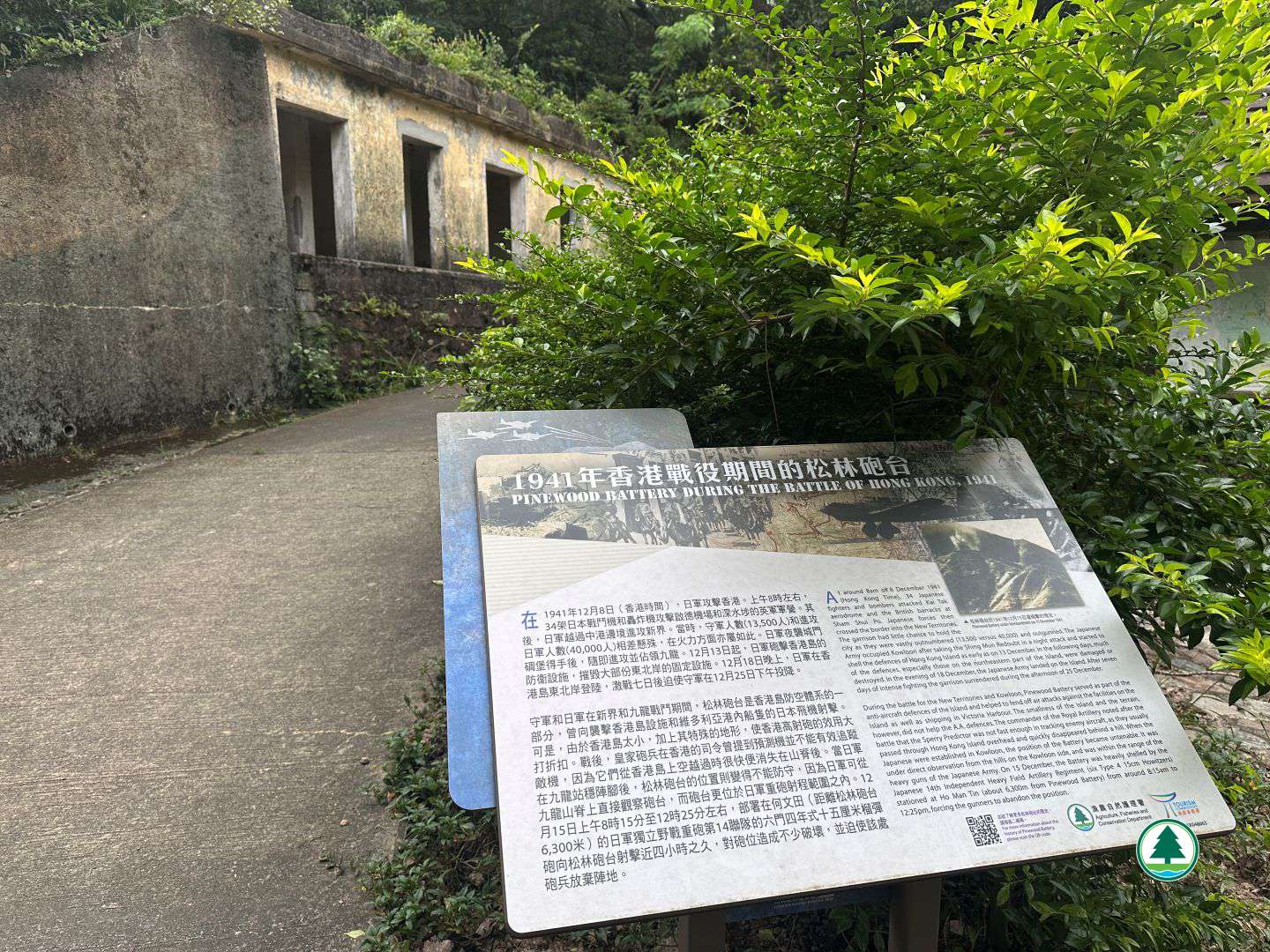
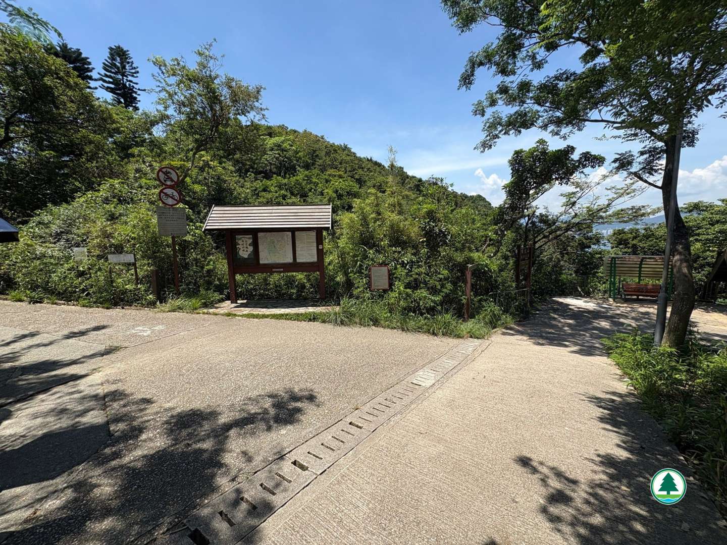
The map below shows the route and scenic spots along the hiking trail.
For details, please refer to the transportation information above and photos below.

Total Length: 0Max Elevation: 0Min Elevation: 0