Shui Long Wo to Tai Shui Tseng
Recommended Route
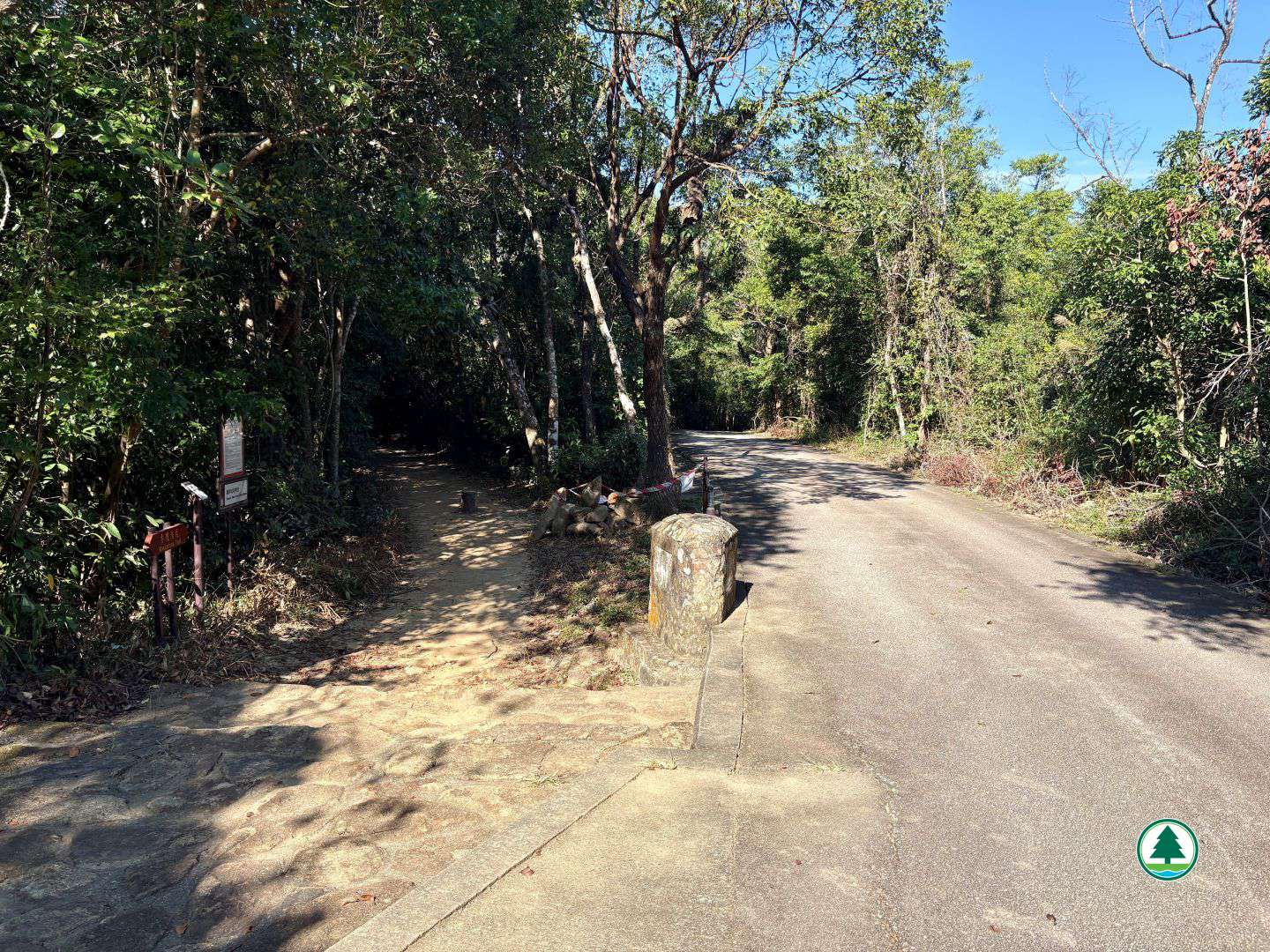
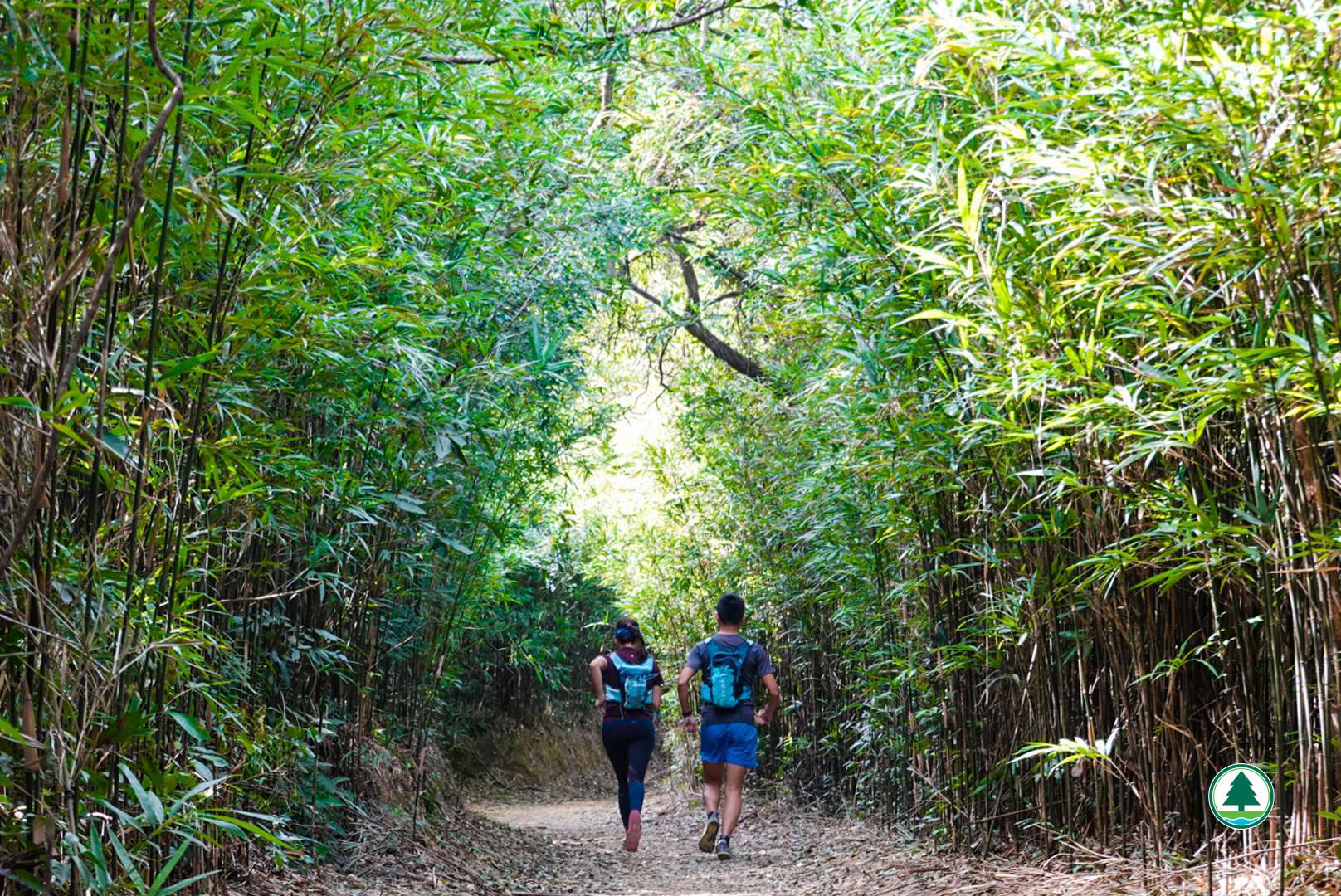
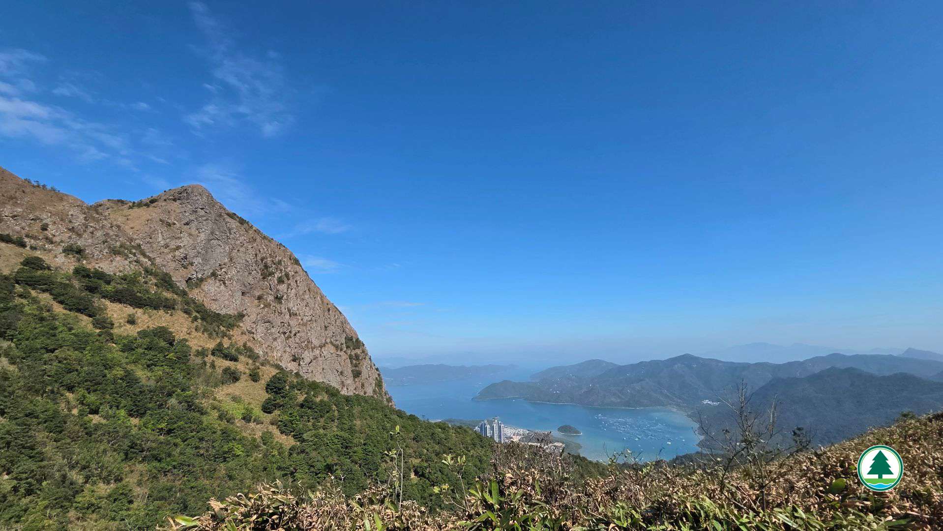
The initial section of the route ascends along MacLehose Trail (Section 4), passing through Shui Long Wo Campsite. Walk approximately 2 km until you reach the distance post M073. Shortly after continuing forward, you will arrive at a bamboo grove with a martial arts-like ambience. The bamboos grow on both sides of the trail and interweave at the top, forming a “bamboo tunnel”, which is an excellent photo-taking spot not to be missed. Walk forward about 350 m to the junction leading to Nam Shan Tsuen and MacLehose Trail. Continue forward following the directional sign for “MacLehose Trail”. Walk another approximately 2.5 km, which requires climbing uphill. This section requires some physical effort, so please be mindful of sun protection and hydration. After that, you will see Pyramid Hill.
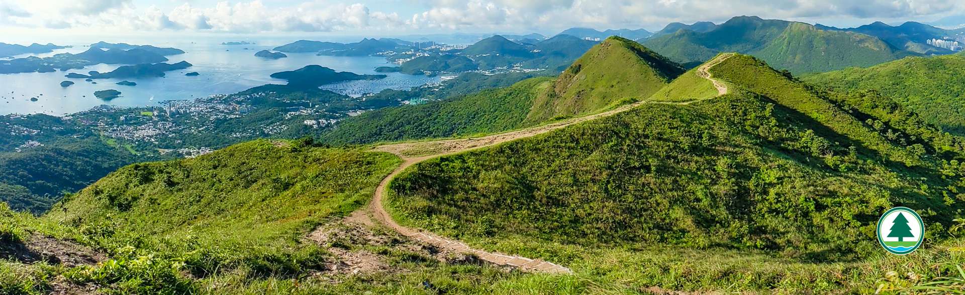
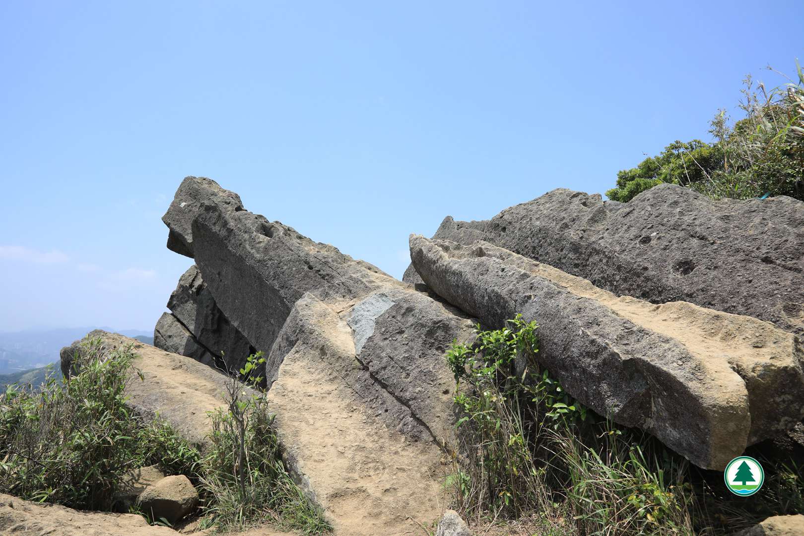
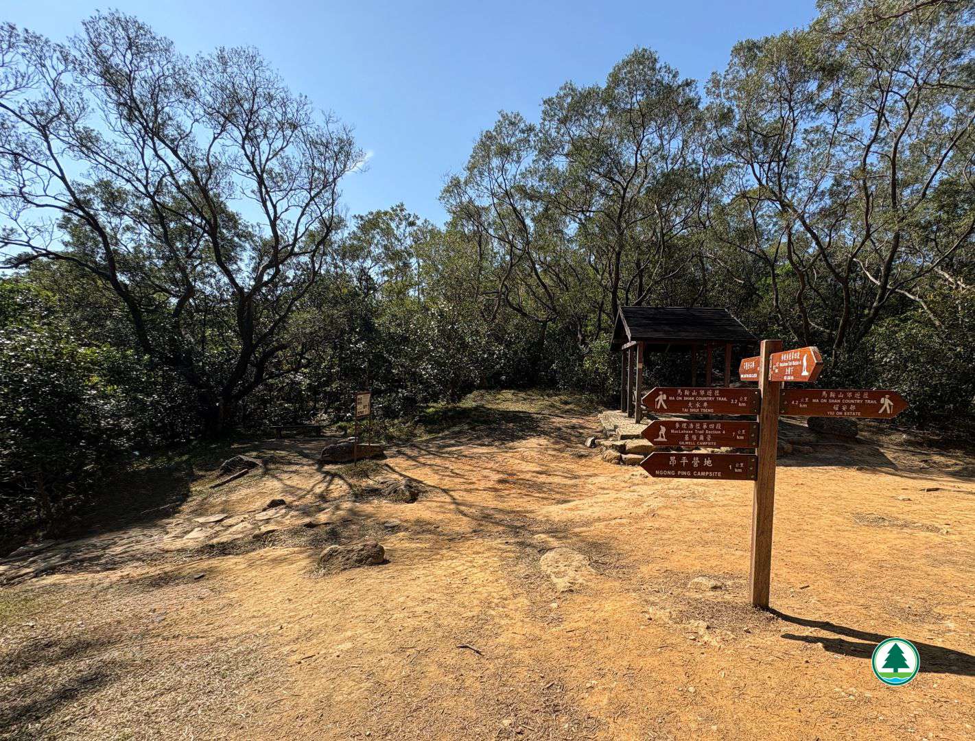
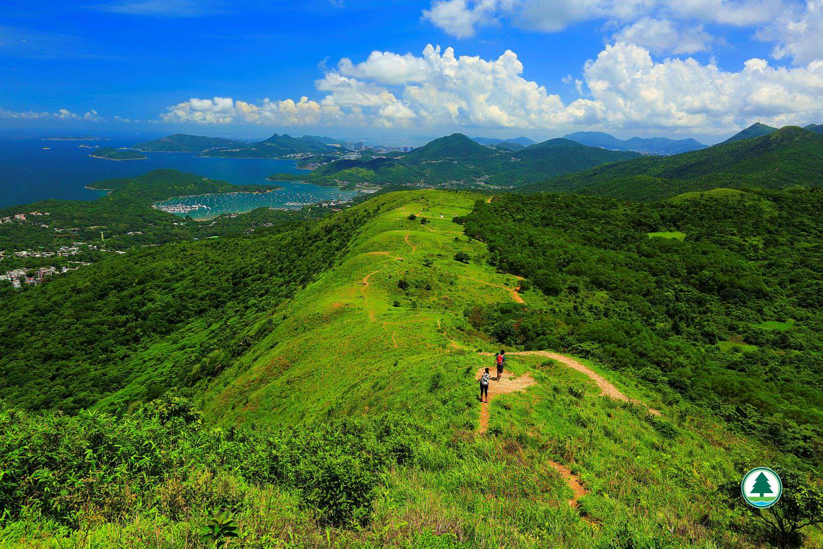
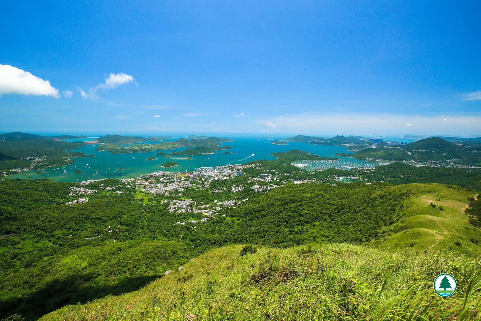
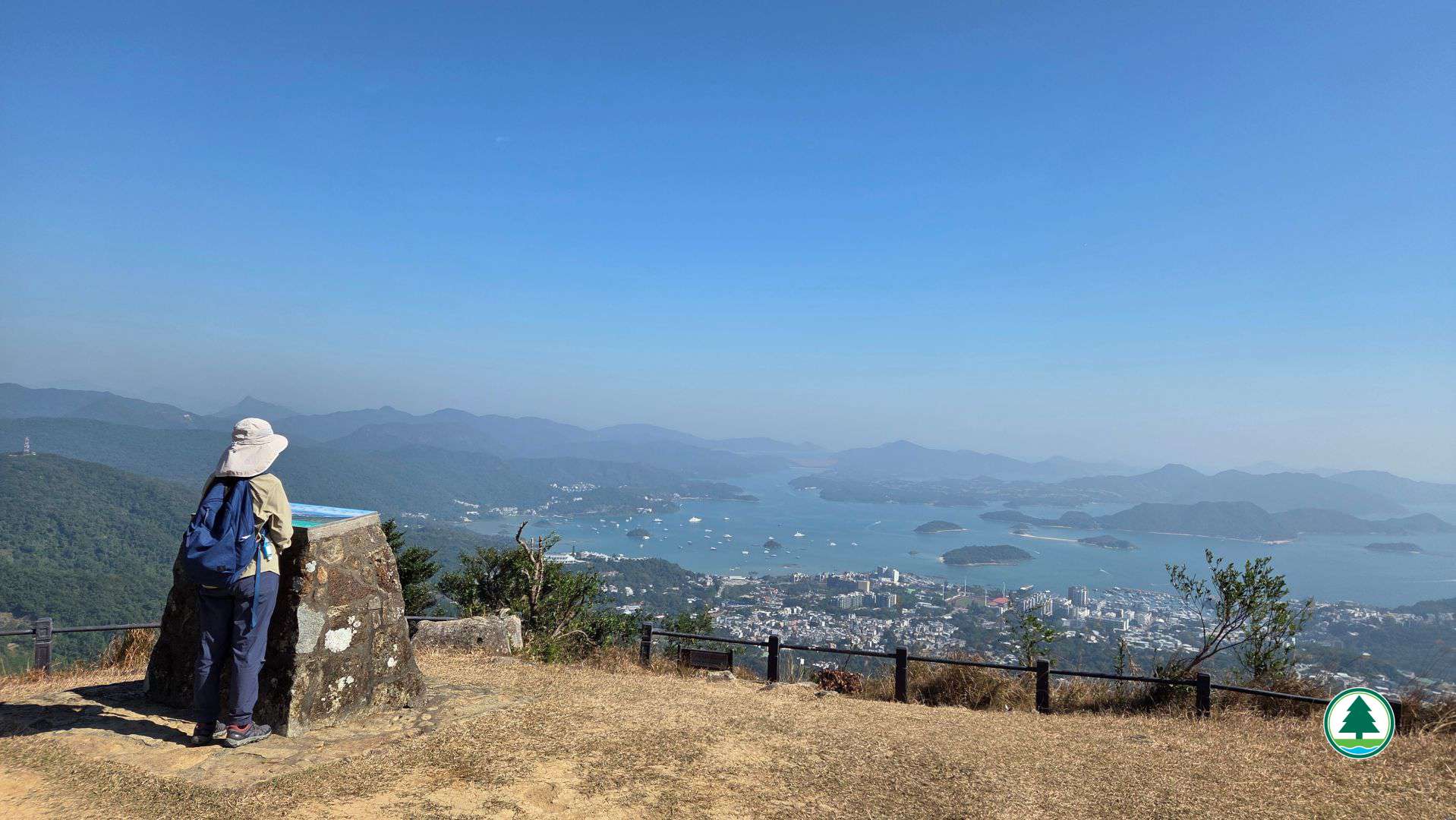
As you continue along the trail downhill for about 900 m to a pavilion, you can follow the directional sign beside the pavilion and walk approximately 300 m to the Shek Lung Tsai Rock Cluster to closely examine the giant boulders sculpted by millions of years of natural erosion. Afterwards, return to the pavilion along the same path, and follow the directional sign for “Ngong Ping Campsite” to walk about 700 m to Ngong Ping. At the Ngong Ping Viewing Point, you can overlook the scenery from Sai Kung Town below the mountain to the Inner Port Shelter. In the distance, you can even see the High Island Reservoir and Kau Sai Chau. After that, walk along the Ma On Shan Country Trail for approximately 1.5 km towards Tai Shui Tseng, which is the endpoint.

Relevant Information:
Hong Kong Observatory : Hong Kong Hiking Trail Weather Service
To facilitate the public in planning their hikes, the geographical information of the route, including the route map, starting point, endpoint, and elevation chart, has been saved in a "GPX" file. The public can download hiking-related applications on their smartphones or smart watches, then click on the following "GPX" file to import the relevant information, which serves as an aid for hiking. Please note that downloading "GPX" files may increase data usage, and the functions and content display may vary depending on the device and application used.
Transportation Information
Starting Point
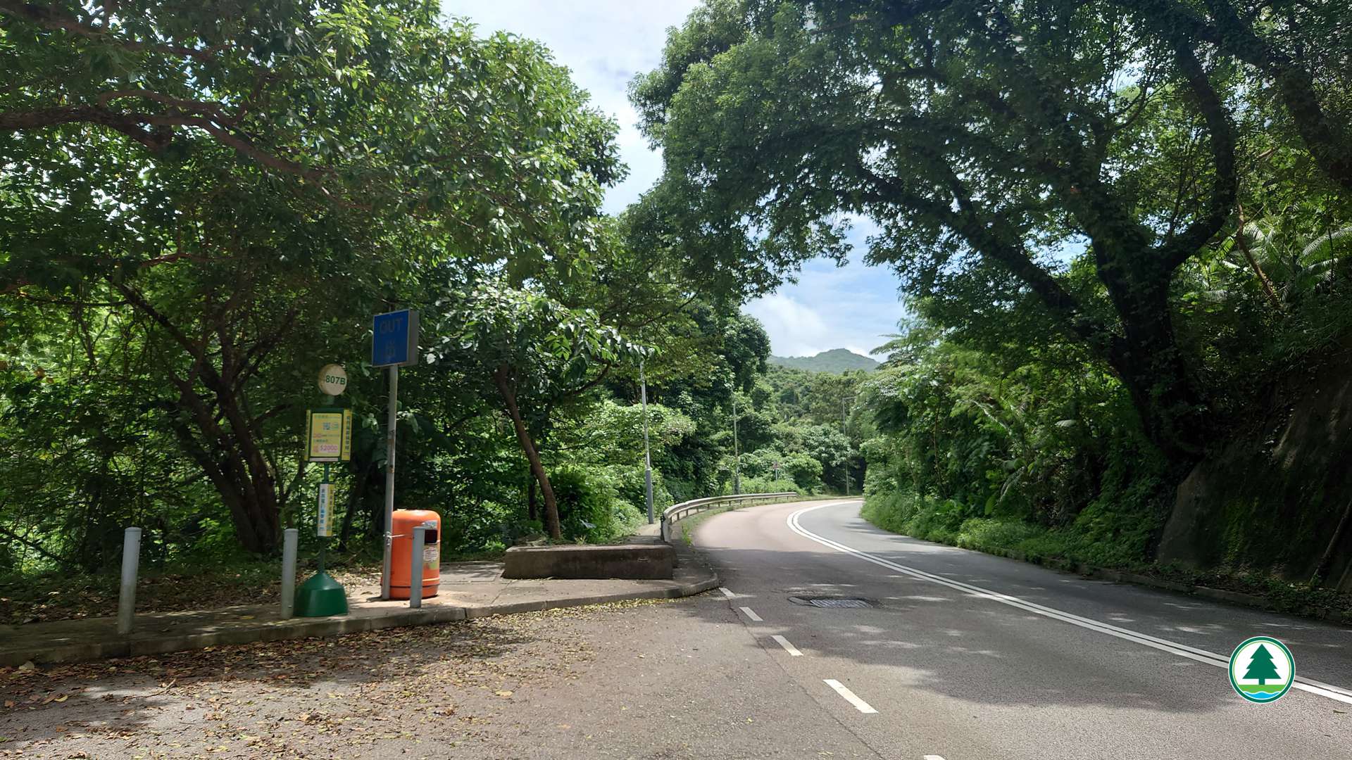
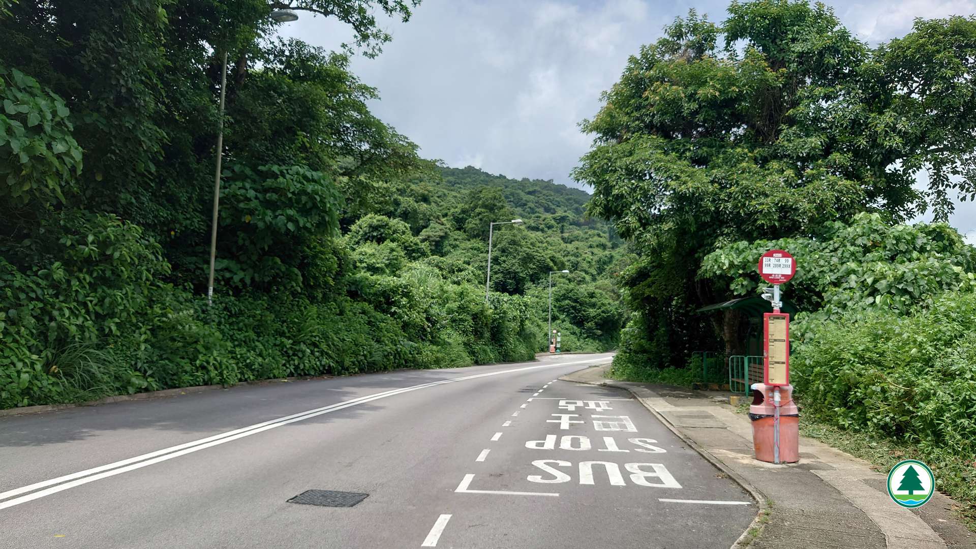
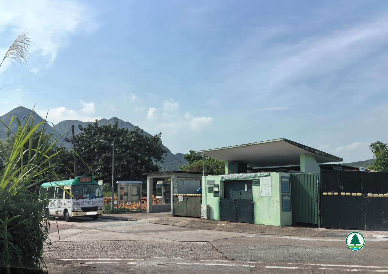
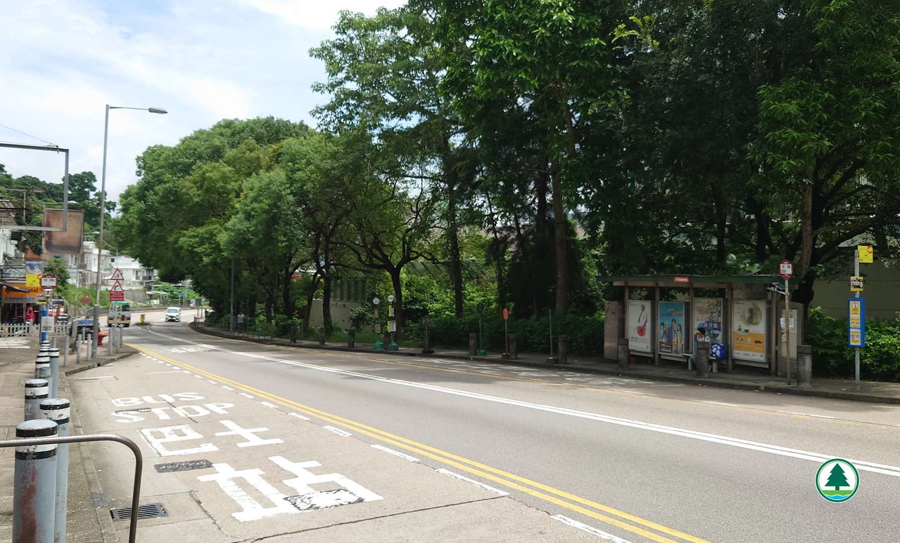
Take public transport to "Shui Long Wo" bus stop or minibus stop, then walk to the starting point near Sai Sha Road BBQ Area Site 5.
Kowloon Motor Bus (KMB) routes - 99, 99R and 299X
Green Minibus route - 807B
Endpoint
Walk approximately 550 m along Po Lo Che Road to reach the junction of Po Lo Che Road and Tan Cheung Road, then take Green Minibus route no. 3 to Sai Kung
Or
Walk approximately 1 km along Po Lo Che Road to Hiram's Highway, and take public transport from "Po Lo Che" bus stop or minibus stop to leave.
Kowloon Motor Bus (KMB) routes - 92 and 96R
Citybus route - 792M
Green Minibus routes - Various routes to Choi Hung, Tseung Kwan O, Sai Kung, and other locations
The transportation information provided in this website is for reference only. Please check the updated transportation information from the websites of Transport Department and relevant transport utilities before setting off.
HKeMobility web page
https://www.hkemobility.gov.hk/
Route Map
The map below shows the route and scenic spots along the hiking trail.
For details, please refer to the transportation information above and photos below.
Gallery
Shui Long Wo Campsite
Keep to the left, pass distance post M073 and continue forward
Bamboo grove
Follow the directional sign for “MacLehose Trail”
Overlooking Ma On Shan and Three Fathoms Cove
Overlooking Pyramid Hill
Follow the directional sign toward Shek Lung Tsai Rock Cluster
Shek Lung Tsai Rock Cluster
Follow the directional sign toward Ngong Ping
Aerial view of Ngong Ping
Overlooking Sai Kung from Ngong Ping
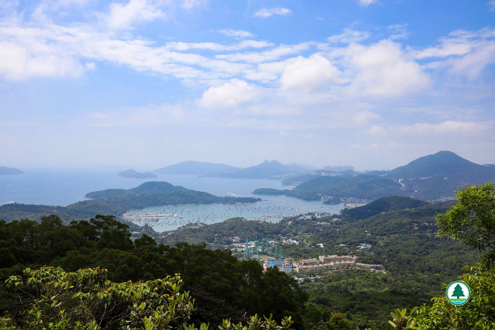
Overlooking Sai Kung, High Island Reservoir and Kau Sai Chau from viewing point
Overlooking Hebe Haven from viewing point
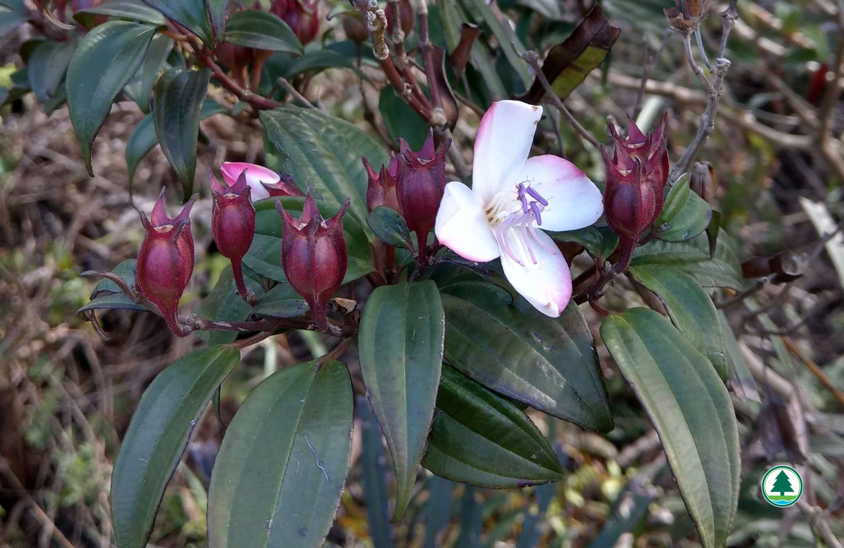
South China Barthea (Barthea barthei)