Aberdeen Reservoirs Defence Position
Historical Relics
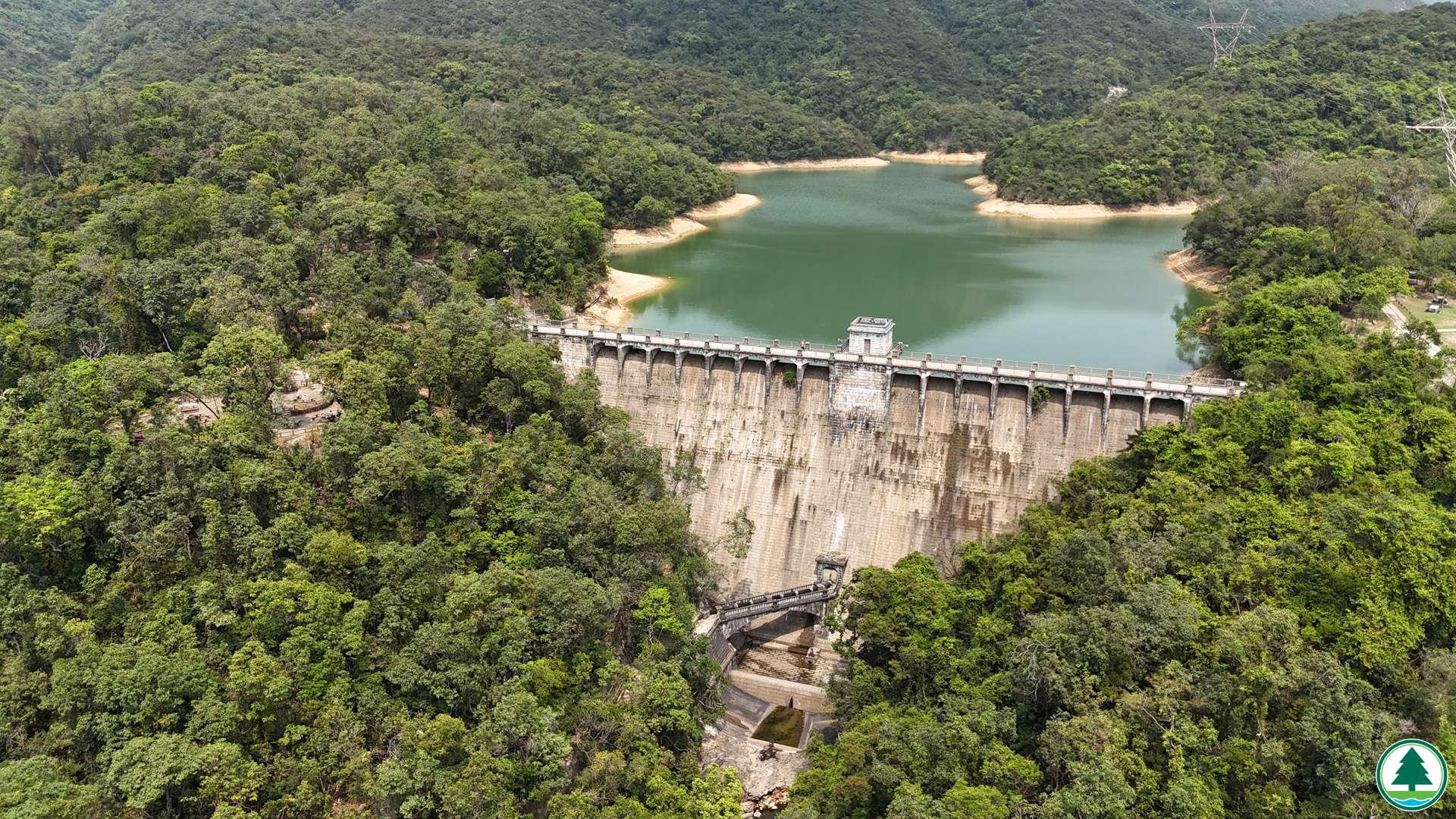
Dam holds back water in the reservoir; what holds off enemies from attacking? Defence position!
In the late 1930s, the British garrison set up defence positions in the valleys and built over a hundred "Type A" shelters and locality pillboxes on Hong Kong Island. The Aberdeen Reservoirs Defence Position had a few locality pillboxes and "Type A" shelters. The purpose of setting up defence positions can be observed from the firing arc of pillboxes, i.e. to prevent enemy forces from advancing on the roads between the valleys to other parts of the Hong Kong Island. Thus, buying time for the garrison to concentrate forces from other sectors for a counterattack.
During the World War II – "Battle of Hong Kong" (8 to 25 December, 1941), the Aberdeen Reservoirs were defended by the C Company of the Winnipeg Grenadier who used the shelters in the north of the reservoir as headquarter. On the last day of the battle, the Japanese army were at the gates of Wan Chai Gap and the general headquarters of the British garrison at Admiralty, forcing the garrison to surrender in the afternoon.
Locality Pillbox
In the late 1930s, the pillboxes built by the British garrison in Hong Kong were equipped with specially designed mountings for Vickers machine gun. The pillboxes commonly featured ventilation shaft to disperse smoke and gas generated during firing of machine guns. The pillboxes also had cot beds which were fixed on walls with chains and hooks. They could be dismantled as stretcher. The outer wall of these structures is one-foot thick, and covered by pebbles for camouflage.

© IWM (GM 428)
British Vickers machine gun mount
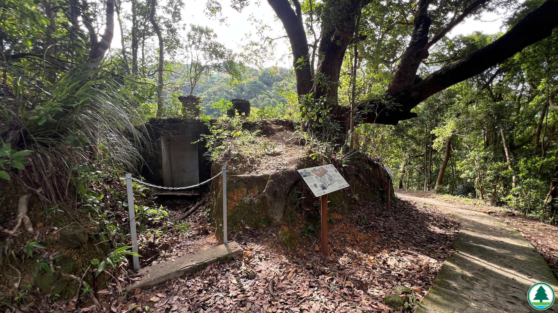
Locality Pillbox 12
During the World War II – "Battle of Hong Kong" (8 to 25 December, 1941), the locality pillbox 12 (LPB12) formed part of the defence area of the Winnipeg Grenadiers of the Canadian Army. LPB12 saw no combat as the garrison had surrendered before Japanese forces reached the locality.
The pillbox has two embrasures. Each is two-feet wide, with a 100° firing arc and was protected by iron gates. The embrasure was operated with Vickers machine gun to resist attacks from the southeast.

Locality Pillbox 12
Locality Pillboxes 13
This pillbox has four embrasures. Each is two-feet wide, with a 100° firing arc and was protected by iron gates. The embrasure was operated with Vickers machine gun to resist attacks from the west and south.

Locality Pillbox 13
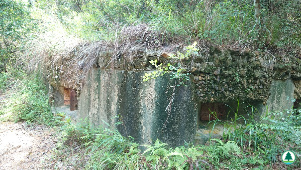
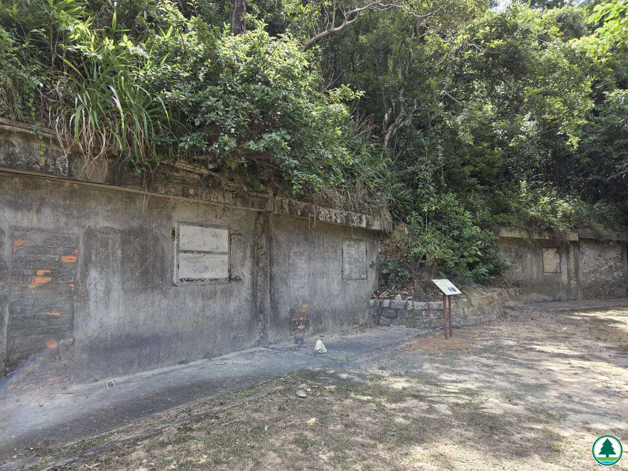
"Type A“ Shelters
The standard dimensions of a “Type A” shelter are approximately 11 feet in length, 14 feet in width, and 9 feet in height, with one-foot thick walls. These shelters were typically built according to standard dimensions with reinforced concrete. Depending on the needs of the operation, these shelters served various purposes, including command posts, living quarters, dressing stations, or storage spaces, etc.

“Type A” shelter

British garrison painted a cross sign to indicate "Type A" shelter as dressing station
Suggested Visiting Route:
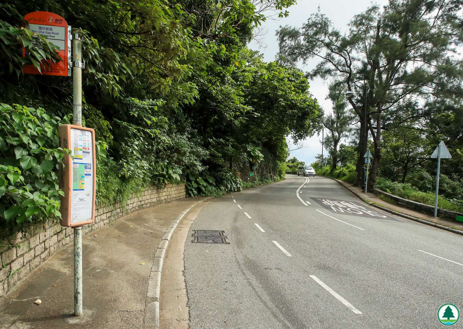
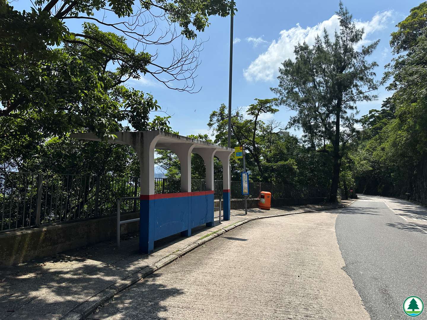
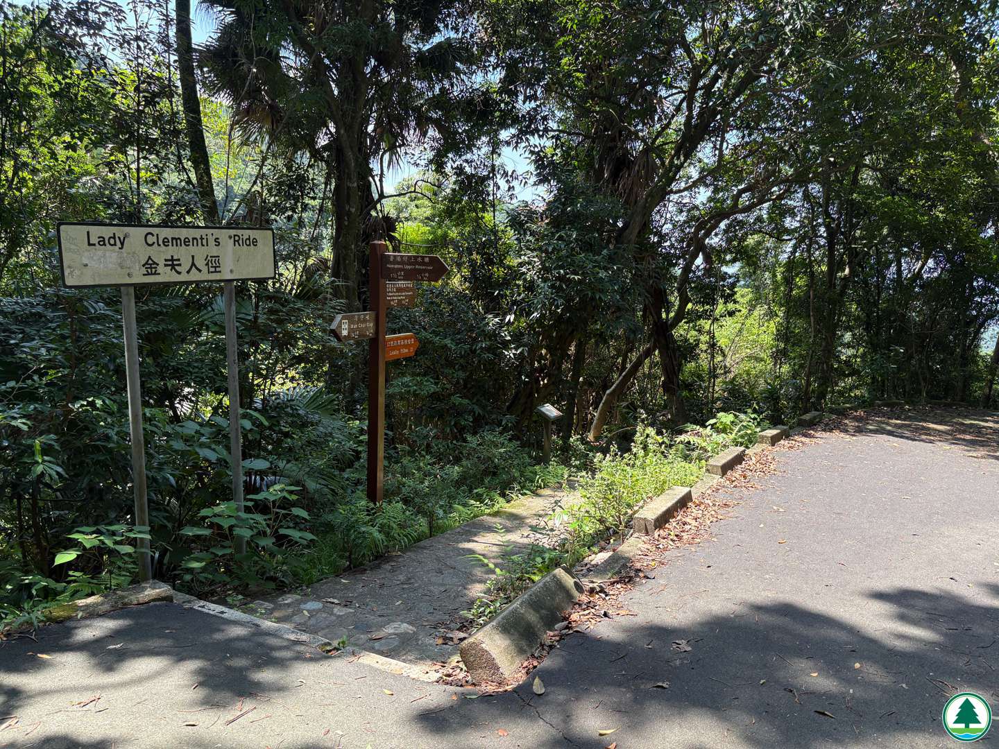
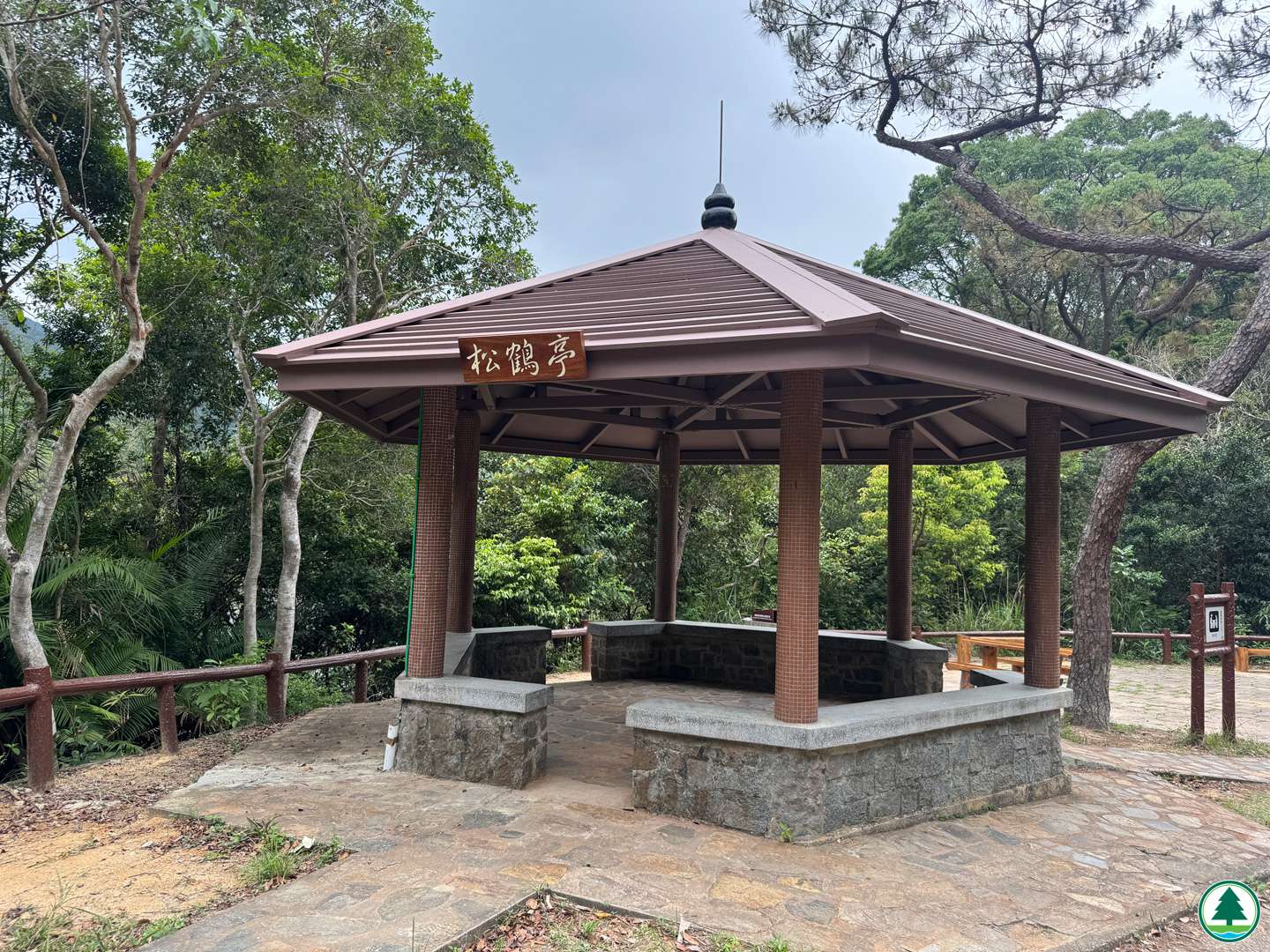
Starting at Wan Chai Gap, enter Aberdeen Reservoir Road and proceed to the junction with Lady Clementi's Ride. Turn left and walk approximately 180 m along Lady Clementi's Ride to reach Locality Pillbox 12. After visiting Locality Pillbox 12, continue walking for about 1.5 km along Lady Clementi's Ride to Locality Pillbox 13. Then, proceed for approximately 200 m to reach the junction of trails towards Black’s Link and Aberdeen Upper Reservoir. Proceed towards Aberdeen Upper Reservoir and walk for about 700 m, passing by Aberdeen Reservoir Barbecue Area Site 3 and reach Aberdeen Upper Reservoir. Walk along the stone bridge atop the dam leads you to a shaded path. Walk for about 200 m to a morning walker garden next to a pavilion, where you can explore the "Type A" shelter. After the visit, walk about 1 km along Aberdeen Reservoir Road to leave at Wan Chai Gap; or return to the junction of trails towards Aberdeen Upper Reservoir and Aberdeen, and walk about 1 km towards Aberdeen to leave at the entrance of Aberdeen Country Park.
Popularity Rating (5 hearts is the highest)
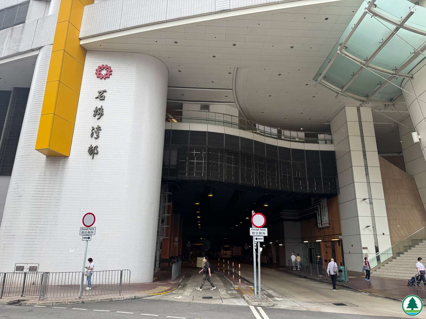
Transportation Information
Route Map
The map below shows the location of the scenic spot.
For details, please refer to the transportation information above and photos captions text below.